Mansa Airport
| Mansa Airport | |||||||||||
|---|---|---|---|---|---|---|---|---|---|---|---|
| Summary | |||||||||||
| Airport type | Public | ||||||||||
| Serves | Mansa, Zambia | ||||||||||
| Elevation AMSL | 4,100 ft / 1,250 m | ||||||||||
| Coordinates | 11°08′17″S 28°52′30″E / 11.13806°S 28.87500°ECoordinates: 11°08′17″S 28°52′30″E / 11.13806°S 28.87500°E | ||||||||||
| Map | |||||||||||
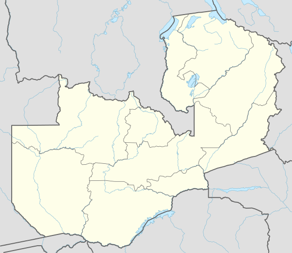 MNS Location of the airport in Zambia | |||||||||||
| Runways | |||||||||||
| |||||||||||
Mansa Airport (IATA: MNS, ICAO: FLMA) is an airport serving Mansa, a city in the Luapula Province in Zambia. The airport is 4 kilometres (2.5 mi) north of the city.
The Mansa non-directional beacon (Ident: MA) is located on the field.[4]
See also


- Transport in Zambia
- List of airports in Zambia
References
- ↑ Airport information for FLMA from DAFIF (effective October 2006)
- ↑ Airport information for Mansa Airport at Great Circle Mapper.
- ↑ "Mansa Airport". Google Maps. Google. Retrieved 29 June 2018.
- ↑ "Mansa NDB (MA) @ OurAirports". ourairports.com. Retrieved 2018-08-30.
External links
- OpenStreetMap - Mansa Airport
- SkyVector - Mansa Airport
- Accident history for Mansa Airport at Aviation Safety Network
This article is issued from
Wikipedia.
The text is licensed under Creative Commons - Attribution - Sharealike.
Additional terms may apply for the media files.