Mandrah
| Mandra | |
|---|---|
| Union council | |
 | |
| Country |
|
| Province | Punjab |
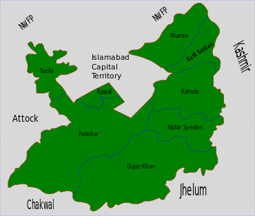
| District | Rawalpindi |
| Tehsil | Gujar Khan |
| Post Code | 47670 |
| Government | |
| • Chairman | Raja Zulfiqar Ali |
| Population (2018 (estimated)) | |
| • Total | 19,172 |
Mandra (Urdu: مندره) is a town of Tehsil Gujar Khan, District Rawalpindi, Punjab, Pakistan.Mandra is also known as the city of Rajput. Mandra itself is also the chief town of Union Council Mandra which is an administrative subdivision of the Tehsil. It is situated approximately 35 km (22 mi) south of Rawalpindi. [1] It is located at 33°21'059.89" North, 73° 14' 22.69" East.[2]
History
Mandra was founded by descendants of General Zarab Khan. There were three brothers looking for a fertile land to settle traveling from the mountains of Kahuta and then they settled there which was the beginning of the reign of Jasgam (Jaskham) Rajputs in the area of Tehsil Gujarkhan. The family has contributed a lot for the locals such as first government hospital was opened by them and got the bill passed from the high court and the family is also active in community service. After independence in 1947 they gave lands to muhajarins to settle. As per tribe's history and norms, Jasgams use the title of Raja. They helped other homeless people to settle and give them shelter. Today among Mandra's most prominent people are the Rajput's as they own most of the land and markets in the Main Baazaar and are very active in politics.
Railways
Mandra Railway Station is on the main Peshawar to Karachi railway line. It is situated 40 km (25 mi) from Rawalpindi. Mandra is also the railway junction from where the train goes to Chakwal. Though currently the Mandra-Chakwal Line is non-operational.

Post Office
There is a Post Office in Mandra providing postal services to the locality.
Notable residents
- Muhammad Afzal Zullah - former Chief Justice of Pakistan
- Raja Nadir Pervez - former MNA & Federal Minister
- Raja Zulfiqar Ali - Chairman Union Council Mandrah
References
- ↑ Towns & Unions in the City District of Rawalpindi - Government of Pakistan
- ↑ Team, Maplandia.com. "Mandra Map | Pakistan Google Satellite Maps". www.maplandia.com. Retrieved 2016-06-13.
Coordinates: 33°21′059.89″N 73°14′22.69″E / 33.3666361°N 73.2396361°E