Makoshika State Park
| Makoshika State Park | |
| Montana State Park | |
 Rock formations in the park | |
| Country | |
|---|---|
| State | |
| County | Dawson |
| Elevation | 2,566 ft (782 m) [1] |
| Coordinates | 47°03′20″N 104°40′38″W / 47.05556°N 104.67722°WCoordinates: 47°03′20″N 104°40′38″W / 47.05556°N 104.67722°W [1] |
| Area | 11,531 acres (4,666 ha) [2] |
| Established | 1953 [3] |
| Management | Montana Fish, Wildlife & Parks |
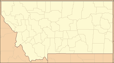 Location in Montana | |
| Website: Makoshika State Park | |
Makoshika State Park ("ma-KO-sh(ih)kuh" from the Lakota Maco sica, meaning 'bad land' or 'land of bad spirits')[4] is the largest of Montana's state parks at more than 11,000 acres (45 km²).[2] It is located to the east-southeast of Glendive. The park encompasses badlands containing dinosaur fossils and rock from the Hell Creek Formation. Fossils from dinosaurs such as Triceratops are found there. In 1997, a fossil Thescelosaurus was found at Makoshika by an expedition led by Jack Horner and Bob Harmon. Birds such as turkey vultures, prairie falcons and eagles make their homes here.
Activities and amenities
The park features a visitors center with geology and fossil displays, scenic drives, nature trails, 28-site campground, archery area, amphitheater, and group shelter. Events include the annual "Buzzard Day" celebration.[4]

References
- 1 2 "Makoshika State Park". Geographic Names Information System. United States Geological Survey.
- 1 2 "Now You Know". Montana Fish, Wildlife & Parks. 2017. Retrieved June 13, 2018.
Largest—Makoshika near Glendive, with 11,531 acres.
- ↑ "Park Origin by Date". Montana State Parks. 2014. Retrieved June 13, 2018.
- 1 2 "Makoshika State Park". Montana Fish, Wildlife and Parks. Retrieved September 19, 2012.
External links
| Wikimedia Commons has media related to Makoshika State Park. |
- Makoshika State Park Montana Fish, Wildlife & Parks
- Makoshika State Park Trail Map Montana Fish, Wildlife & Parks
- Makoshika State Park Management Plan Montana Fish, Wildlife & Parks