Mahamadpur, Narayani
| Mahamadpur महमदपुर | |
|---|---|
| Village development committee | |
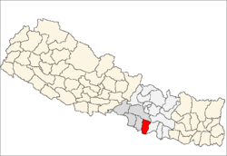
 Mahamadpur Location in Nepal | |
| Coordinates: 26°57′N 85°19′E / 26.95°N 85.31°ECoordinates: 26°57′N 85°19′E / 26.95°N 85.31°E | |
| Country |
|
| Zone | Narayani Zone |
| District | Rautahat District |
| Population (1991) | |
| • Total | 4,690 |
| Time zone | UTC+5:45 (Nepal Time) |
Mahamadpur is a village development committee in Rautahat District in the Narayani Zone of south-eastern Nepal. At the time of the 1991 Nepal census it had a population of 4690 people living in 812 individual households.[1]
References
- ↑ "Nepal Census 2001". Nepal's Village Development Committees. Digital Himalaya. Archived from the original on 12 October 2008. Retrieved 25 November 2008.
This article is issued from
Wikipedia.
The text is licensed under Creative Commons - Attribution - Sharealike.
Additional terms may apply for the media files.