Lusaka City Airport
| Lusaka City Airport | |||||||||||
|---|---|---|---|---|---|---|---|---|---|---|---|
| Summary | |||||||||||
| Airport type | Military | ||||||||||
| Serves | Lusaka | ||||||||||
| Elevation AMSL | 4,200 ft / 1,280 m | ||||||||||
| Coordinates | 15°24′50″S 28°19′50″E / 15.41389°S 28.33056°ECoordinates: 15°24′50″S 28°19′50″E / 15.41389°S 28.33056°E | ||||||||||
| Map | |||||||||||
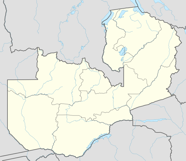
 FLLC Location in Zambia | |||||||||||
| Runways | |||||||||||
| |||||||||||
Lusaka City Airport (ICAO: FLLC) is a military airport serving Lusaka, Zambia. It is used by the Zambian Air Force and the government, while international and commercial traffic is served by Kenneth Kaunda International Airport.[4]
Runway 08 has an unusual 360 metres (1,181 ft) displaced threshold (no touchdown section), located 310 metres (1,017 ft) past the normal threshold.[5]
The Lusaka VOR-DME (Ident: VLS) is located 7.3 nautical miles (13.5 km) northeast of the airport.[6] There are numerous non-directional beacons in the area associated with approaches to the nearby international airport.
See also


- Transport in Zambia
- List of airports in Zambia
References
- ↑ Airport information for FLLC at World Aero Data. Data current as of October 2006.
- ↑ Airport information for Lusaka City Airport at Great Circle Mapper.
- ↑ "Lusaka City Airport". Google Maps. Google. Retrieved 28 June 2018.
- ↑ "Growing Zambian Air Force playing a regional role". defenceweb.co.za. 2016. Retrieved 19 Mar 2017.
- ↑ "Google Maps". Google Maps. Retrieved 2018-08-30.
- ↑ "Lusaka VOR-DME (VLS) @ OurAirports". ourairports.com. Retrieved 2018-08-30.
External links
- OpenStreetMap - Lusaka City Airport
- SkyVector - Lusaka City Airport
- Accident history for Lusaka City Airport at Aviation Safety Network
This article is issued from
Wikipedia.
The text is licensed under Creative Commons - Attribution - Sharealike.
Additional terms may apply for the media files.