Longships Lighthouse
 Longships lighthouse from the seaward side | |
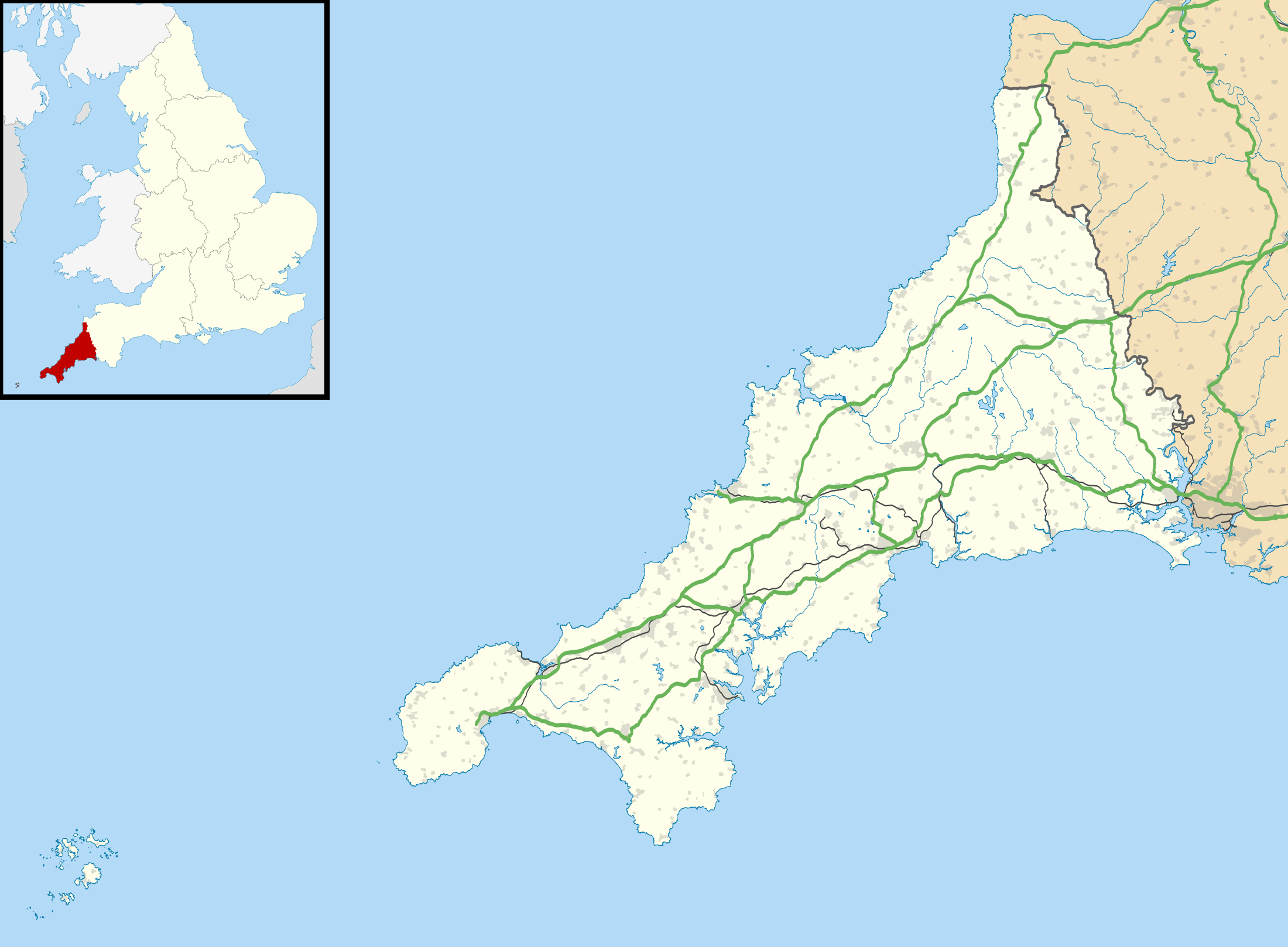 Cornwall | |
| Location |
Land's End Cornwall England |
|---|---|
| Coordinates | 50°4′00.69″N 5°44′48.39″W / 50.0668583°N 5.7467750°WCoordinates: 50°4′00.69″N 5°44′48.39″W / 50.0668583°N 5.7467750°W |
| Year first constructed | 1795 (first) |
| Year first lit | 1875 (current) |
| Automated | 1988 |
| Construction | granite tower |
| Tower shape | tapered cylindrical tower with lantern and helipad on the top |
| Markings / pattern | unpainted tower, white lantern |
| Height | 35 m (115 ft) |
| Focal height | 35 m (115 ft) |
| Current lens | First Order Dioptric |
| Intensity | 14,400 Candela |
| Range | 15 nmi (28 km; 17 mi) |
| Characteristic | Iso WR 10s. |
| Fog signal | one second blast every 10 seconds |
| Admiralty number | A0028 |
| NGA number | 114-0024 |
| ARLHS number | ENG 069 |
| Managing agent | Trinity House[1] |
Longships Lighthouse is an active 19th century lighthouse about 1.25 mi (2.01 km) off the coast of Land’s End in Cornwall, England. It is the second lighthouse to be built on Carn Bras, the highest of the Longships islets which rises 39 feet (12 m) above high water level. In 1988 the lighthouse was automated, and the keepers withdrawn. It is now remotely monitored from the Trinity House Operations & Planning Centre in Harwich.[2]
History
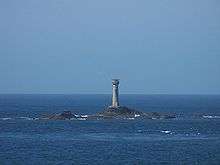
The original tower was built in 1795 to the design of Trinity House architect Samuel Wyatt. The lantern was 79 feet (24 m) above sea level but very high seas obscured its light.[3]
In 1869 Trinity House began constructing a replacement.[4] The building of the present granite tower used much of the equipment that had previously been used in the construction of the Wolf Rock Lighthouse.[4] The tower was first lit in December 1873 having cost £43,870 to build.[4] Even after these improvements, the S.S. Bluejacket was wrecked on rocks near the lighthouse on a clear night in 1898, nearly demolishing the lighthouse in the process.
Often due to bad weather there is a delay in relieving the men and supplying stores. In January 1901 there was some concern that the men had run short of provisions due to the severe weather. It was found that there was plenty of stores and the only hardship was their lack of tobacco. They had taken to smoking coffee, hops and tea leaves instead.[5]
Operation
The current lantern emits one long five-second flash every ten seconds. Seaward flashes are white but they become red - due to tinted sectors - for any vessel straying too close to either Cape Cornwall to the north or Gwennap Head to the south-southeast. The white light has a range of 15 nautical miles (28 km; 17 mi), and the red sector light a slightly shorter range of 11 nautical miles (20 km; 13 mi). During poor visibility the fog horn sounds once every ten seconds.[6]
See also
References
- ↑ Rowlett, Russ. "Lighthouses of Southwest England (Devon and Cornwall)". The Lighthouse Directory. University of North Carolina at Chapel Hill. Retrieved 11 December 2017.
- ↑ "Longships Lighthouse". Lighthouses and lightvessels. Trinity House. Retrieved 11 December 2017.
- ↑ Trinity House website; Longships lighthouse Archived 17 September 2008 at the Wayback Machine.; retrieved April 2010
- 1 2 3 Nicholson, Christopher (1995). Rock lighthouses of Britain The end of an era?. Whittles Publishing. pp. 72–73. ISBN 1-870325-41-9.
- ↑ "Driven To Smoking Tea-Leaves". The Cornubian and Redruth Times (1962). 25 January 1901. p. 3.
- ↑ List of Lights, Pub. 114: British Isles, English Channel and North Sea (PDF). List of Lights. United States National Geospatial-Intelligence Agency. 2016. p. 1.
External links
| Wikimedia Commons has media related to Longships. |