Lepsi
| Lepsi Лепсі | |
|---|---|
| Village | |
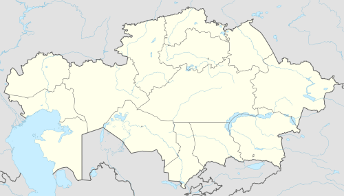 Lepsi Location in Kazakhstan | |
| Coordinates: 46°20′49″N 78°19′55″E / 46.34694°N 78.33194°ECoordinates: 46°20′49″N 78°19′55″E / 46.34694°N 78.33194°E | |
| Country | Kazakhstan |
| Region | Almaty Region |
| District | Sarkand District |
| Population (2009) | |
| • Total | 2,567 |
| Time zone | UTC+6 (Omsk Time) |
Lepsi (Kazakh: Лепсі) is a village in Sarkand District, Almaty Region, in south-eastern Kazakhstan.[1] The village is located at an altitude of 1,018 meters above sea level. It is 924-km (574 miles) from the capital city of Astana.[2] It is located to the south of Lake Balkhash, on the Lepsy River. It is a stop on the train between Almaty and Semey on the Turkestan–Siberia Railway.
The village is the seat of Lepsi Village Administration, which also includes the station villages Akbalik (Акбалик, pop. 90), Arganati (Арганати, pop. 40), Karatas (Каратас, pop. 94), Keregetas (Керегетас, pop. 14), Kokshalgin (Кокшалгин, pop. 25), and Sarikurak (Сарикурак, pop. 19).
References
- ↑ National Geospatial-Intelligence Agency. GeoNames database entry. (search) Accessed 13 May 2011.
- ↑ "City (town) Lepsi: map, population, location". Tiptopglobe.com. Retrieved 2016-01-19.
This article is issued from
Wikipedia.
The text is licensed under Creative Commons - Attribution - Sharealike.
Additional terms may apply for the media files.