Abay, Almaty
| Abay Абай | |
|---|---|
| Village | |
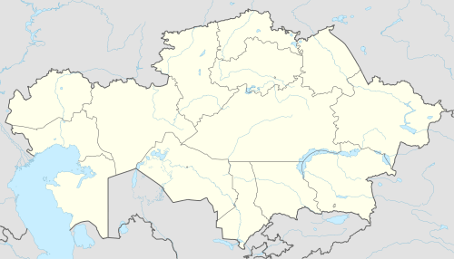 Abay Location in Kazakhstan | |
| Coordinates: 43°12′33″N 76°45′37″E / 43.20917°N 76.76028°ECoordinates: 43°12′33″N 76°45′37″E / 43.20917°N 76.76028°E | |
| Country | Kazakhstan |
| Region | Almaty Region |
| District | Karasay District |
| Population (2009) | |
| • Total | 10,439 |
| Time zone | UTC+6 (Omsk Time) |
| Postal code | 040905 |
| Area code(s) | 72771 |
Abay (Kazakh: Абай) is a village in Almaty Region of south-eastern Kazakhstan. During the Soviet era it was called Oktyabrskoye Desyatoye.
Geography
Abay is a suburb that lies south-west of Almaty and north-east of Karasay on the M33 highway.
Economy
The village relies on the Zhalpaksaiskoe Reservoir, located to the southeast of the village for its water supplies. Agricultural land lies to the north of the village between the M33 and to the south.
External links
This article is issued from
Wikipedia.
The text is licensed under Creative Commons - Attribution - Sharealike.
Additional terms may apply for the media files.