Narynkol
| Narynkol Нарынқол | |
|---|---|
| Village | |
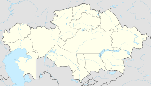 Narynkol Location in Kazakhstan | |
| Coordinates: 42°43′33″N 80°10′42″E / 42.72583°N 80.17833°ECoordinates: 42°43′33″N 80°10′42″E / 42.72583°N 80.17833°E | |
| Country | Kazakhstan |
| Region | Almaty Region |
| District | Raiymbek District |
| Population (2009) | |
| • Total | 7,731 |
| Time zone | UTC+6 (Omsk Time) |
Narynkol (KAZ Narynқol.) - A village in Raiymbek district of Almaty region of Kazakhstan. The administrative center Narynkolskogo rural district. Located near the border with China, about 82 km east-south-east (ESE) from Kegen village, the administrative center of the district, at an altitude of 1801 meters above sea level
Population
In 1999, the village had a population of 8816 people (4371 men and 4445 women). [3] According to the 2009 census, the village population of 7731 people (3806 men and 3925 women)
Farming
It is on the first place in the agricultural area livestock with crop production and agricultural production is carried out. Village pasture, because it has large areas of grassland and pastures have a significant presence as a breeding potential. The resulting animal products is the main source of livelihood of the people in the village
Potatoes
Potatoes grow best here in Kazakhstan.
Popular persons
- Мұқағали Мақатаев
- Бердібек Соқпақбаев
- Алтынбек Сәрсенбайұлы
- Сағат Әшімбаев
- Еркін Ібітәнов
- Заманбек Нұрқаділов
- Бейбіт Дәлденбаев
- Тоққожа Мұқаев
- Нұрбапа Өмірзақов
- Едіге Жаров