Landerd
| Landerd | |||
|---|---|---|---|
| Municipality | |||
 Windmill in Reek | |||
| |||
.svg.png) Location in North Brabant | |||
| Coordinates: 51°42′N 5°40′E / 51.700°N 5.667°ECoordinates: 51°42′N 5°40′E / 51.700°N 5.667°E | |||
| Country | Netherlands | ||
| Province | North Brabant | ||
| Established | 1 January 1994 | ||
| Government[1] | |||
| • Body | Municipal council | ||
| • Mayor | Marnix Bakermans | ||
| Area[2] | |||
| • Total | 70.71 km2 (27.30 sq mi) | ||
| • Land | 70.38 km2 (27.17 sq mi) | ||
| • Water | 0.33 km2 (0.13 sq mi) | ||
| Elevation[3] | 20 m (70 ft) | ||
| Population (August 2017)[4] | |||
| • Total | 15,348 | ||
| • Density | 218/km2 (560/sq mi) | ||
| • Uden-Veghel | 175,119 | ||
| Time zone | UTC+1 (CET) | ||
| • Summer (DST) | UTC+2 (CEST) | ||
| Postcode | 5374–5375, 5410–5411 | ||
| Area code | 0486 | ||
| Website |
www | ||


Landerd (![]()
History
Landerd is the result of a merger between the formerly independent municipalities of Schaijk and Zeeland on 1 January 1994. Schaijk and Reek had merged earlier on 1 July 1942.
Population centres
Topography
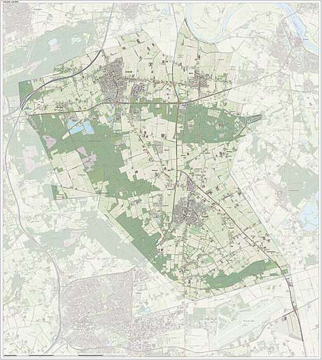
Dutch topographic map of the municipality of Landerd, June 2015
References
- ↑ "Samenstelling college" [Members of the board] (in Dutch). Gemeente Landerd. Retrieved 29 May 2014.
- ↑ "Kerncijfers wijken en buurten" [Key figures for neighbourhoods]. CBS Statline (in Dutch). CBS. 2 July 2013. Retrieved 12 March 2014.
- ↑ "Postcodetool for 5411EA". Actueel Hoogtebestand Nederland (in Dutch). Het Waterschapshuis. Archived from the original on 21 September 2013. Retrieved 29 May 2014.
- ↑ "Bevolkingsontwikkeling; regio per maand" [Population growth; regions per month]. CBS Statline (in Dutch). CBS. 27 October 2017. Retrieved 27 October 2017.
External links

- Official website
Places adjacent to Landerd | ||||||||||
|---|---|---|---|---|---|---|---|---|---|---|
| ||||||||||

This article is issued from
Wikipedia.
The text is licensed under Creative Commons - Attribution - Sharealike.
Additional terms may apply for the media files.