La Uvita
| La Uvita | ||
|---|---|---|
| Municipality and town | ||
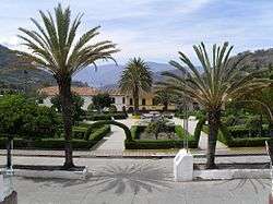 Central square of La Uvita | ||
| ||
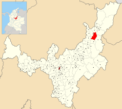 Location of the municipality and town of La Uvita in the Boyacá Department of Colombia | ||
| Coordinates: 6°20′N 72°30′W / 6.333°N 72.500°WCoordinates: 6°20′N 72°30′W / 6.333°N 72.500°W | ||
| Country |
| |
| Department | Boyacá Department | |
| Province | Northern Boyacá Province | |
| Founded | 24 December 1758 | |
| Founded by | Vicente Ferrer del Río de Loza | |
| Government | ||
| • Mayor |
Jaime Enrique Galvis Hernández (2016-2019) | |
| Elevation | 2,700 m (8,900 ft) | |
| Population (2015) | ||
| • Municipality and town | 2,523 | |
| • Urban | 1,018 | |
| Time zone | UTC-5 (Colombia Standard Time) | |
| Website | Official website | |
.svg.png)
La Uvita is a town and municipality in the Northern Boyacá Province, part of the Colombian Department of Boyacá. The urban centre is located at an altitude of 2,700 metres (8,900 ft) in the Eastern Ranges of the Colombian Andes. La Uvita borders San Mateo in the north, El Cocuy and Chita in the east, Chita and Jericó in the south and Boavita in the west.[1]
Etymology
La Uvita is derived from Chibcha, meaning "meadow of the fertile farmlands".[1]
History
La Uvita was founded by Vicente Ferrer del Río de Loza on December 24, 1758, as a place for the colonial inhabitants of Boavita to flee the indigenous people in Boavita.[1]
Economy
Main economic activity of La Uvita is the manufacturing of cheese. It also serves as a touristic entry to the El Cocuy National Park.[1]
Gallery
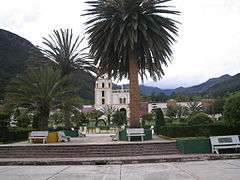 Central square
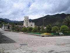 Central square and church
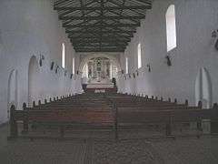 Church interior
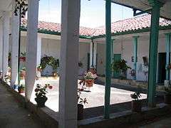 Andalusian patio
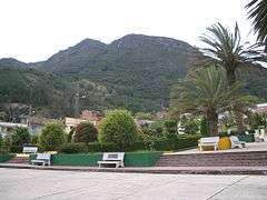 Monserrate Hill
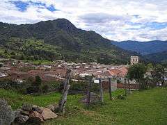 Tabor Hill
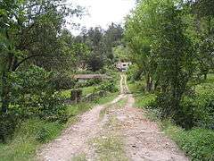 Rural road
References
| Wikimedia Commons has media related to La Uvita. |
- 1 2 3 4 (in Spanish) Official website La Uvita
This article is issued from
Wikipedia.
The text is licensed under Creative Commons - Attribution - Sharealike.
Additional terms may apply for the media files.