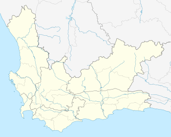
Kurland, Western Cape
| Kurland | |
|---|---|
 Kurland  Kurland Kurland (South Africa)  Kurland Kurland (Africa) | |
| Coordinates: 33°56′45″S 23°29′39″E / 33.94583°S 23.49417°ECoordinates: 33°56′45″S 23°29′39″E / 33.94583°S 23.49417°E | |
| Country | South Africa |
| Province | Western Cape |
| District | Eden |
| Municipality | Bitou |
| Area[1] | |
| • Total | 1.24 km2 (0.48 sq mi) |
| Population (2011)[1] | |
| • Total | 4,033 |
| • Density | 3,300/km2 (8,400/sq mi) |
| Racial makeup (2011)[1] | |
| • Black African | 31.2% |
| • Coloured | 58.1% |
| • Indian/Asian | 0.2% |
| • White | 0.1% |
| • Other | 10.3% |
| First languages (2011)[1] | |
| • Afrikaans | 70.0% |
| • Xhosa | 25.1% |
| • English | 1.7% |
| • Other | 3.2% |
| Time zone | UTC+2 (SAST) |
Kurland (often referred to as Kurland Village) is a rural township in Eden District Municipality in the Western Cape province of South Africa.
Located in the Crags area on the edge of the Tsitsikamma Nature Reserve, 20 km from Plettenberg Bay, it is said to be affected by high levels of unemployment, alcoholism, HIV and domestic violence.[2] The Crags Primary School, built in 1981, is the only school in the village.[3]
References
- 1 2 3 4 "Main Place Kurland". Census 2011.
- ↑ "Kids of Kurland South Africa". Retrieved 13 February 2015.
- ↑ "Kids of Kurland". Helping Hands. Missing or empty
|url=(help);|access-date=requires|url=(help)
This article is issued from
Wikipedia.
The text is licensed under Creative Commons - Attribution - Sharealike.
Additional terms may apply for the media files.
.svg.png)