Kon Plông District
| Kon Plong District Huyện Kon Plông | |
|---|---|
| District | |
 Location in Kon Tum Province | |
| Country |
|
| Province | Kon Tum Province |
| Capital | Măng Đen |
| Area | |
| • Total | 526 sq mi (1,362 km2) |
| Population (2003) | |
| • Total | 31,700 |
| Time zone | UTC+7 (UTC + 7) |
Kon Plông is a rural district (huyện) of Kon Tum province in the Central Highlands region of Vietnam. It covers an area of 2,248.2 km² and in 1999 had a population of 31,700 people. The district capital lies at Măng Đen.
Divisions
Kon Plong district was formed on the basis of division separating Kon Plong old district (now the Kon Ray district). Kon Plong district was divided in 2004 into the following communes:
- Đăk Long
- Măng Bút
- Măng Cành
- Ngọc Tem
- Đăk Rinh
- Đăk Nên
- Đăk Tăng
- Xã Hiếu
- Pờ Ê
As of 2003 the district had a population of 18,554.[1] The district covers an area of 1,362 km2 (526 sq mi).
References
- ↑ "Districts of Vietnam". Statoids. Retrieved March 13, 2009.
Coordinates: 14°45′00″N 108°19′59″E / 14.750°N 108.333°E
| Đắk Lắk Province | 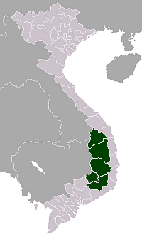 | |
|---|---|---|
| Đắk Nông Province | ||
| Gia Lai Province | ||
| Kon Tum Province | ||
| Lâm Đồng Province | ||
※ denotes provincial seat. | ||
This article is issued from
Wikipedia.
The text is licensed under Creative Commons - Attribution - Sharealike.
Additional terms may apply for the media files.