Kolomak
| Kolomak Коломак | |
|---|---|
| Urban-type settlement | |
 Kolomak | |
| Coordinates: 49°50′31″N 35°18′29″E / 49.84194°N 35.30806°ECoordinates: 49°50′31″N 35°18′29″E / 49.84194°N 35.30806°E | |
| Country | Ukraine |
| Oblast | Kharkiv Oblast |
| Raion | Kolomak Raion |
| Population (2017) | |
| • Total | 2,882[1] |
| Time zone | UTC+2 (EET) |
| • Summer (DST) | UTC+3 (EEST) |
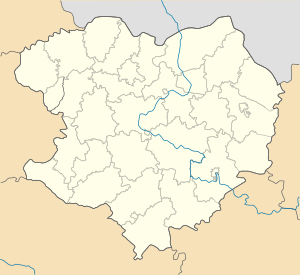
Kolomak (Ukrainian: Коломак, Russian: Коломак) is an urban-type settlement in Kharkiv Oblast, Ukraine. It serves as the administrative center of Kolomak Raion. Population: 2,882 (2017 est.)[1]
Kolomak is located between Poltava and Kharkiv, on both banks of the Kolomak River, a major left tributary of the Vorskla River in the drainage basin of the Dnieper.
Economy
Transportation
The Highway M03, connecting Kiev and Kharkiv via Poltava, runs about 10 kilometres (6.2 mi) south of Kolonak, and the settlement has an easy access to it. There are local roads as well.
Kolomak railway station, on the railway line connecting Kharkiv and Poltava, is not located in Kolomak but in Shelestove, about 5 kilometres (3.1 mi) west of the settlement. There is a freight dead-end railway line to Kolomak from Vodiana railway station, on the same line connecting Kharkiv and Poltava.
References
- 1 2 "Чисельність наявного населення України (Actual population of Ukraine)" (in Ukrainian). State Statistics Service of Ukraine. Retrieved 26 August 2017.