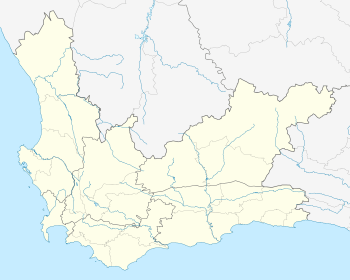
Koekenaap
| Koekenaap | |
|---|---|
 Koekenaap  Koekenaap Koekenaap (South Africa)  Koekenaap Koekenaap (Africa) | |
| Coordinates: 31°31′23″S 18°17′32″E / 31.52306°S 18.29222°ECoordinates: 31°31′23″S 18°17′32″E / 31.52306°S 18.29222°E | |
| Country | South Africa |
| Province | Western Cape |
| District | West Coast |
| Municipality | Matzikama |
| Area[1] | |
| • Total | 1.59 km2 (0.61 sq mi) |
| Population (2011)[1] | |
| • Total | 1,551 |
| • Density | 980/km2 (2,500/sq mi) |
| Racial makeup (2011)[1] | |
| • Black African | 12.4% |
| • Coloured | 83.8% |
| • Indian/Asian | 0.3% |
| • White | 3.1% |
| • Other | 0.3% |
| First languages (2011)[1] | |
| • Afrikaans | 89.3% |
| • Xhosa | 5.2% |
| • English | 2.2% |
| • Other | 3.2% |
| Time zone | UTC+2 (SAST) |
| PO box | 8146 |
Koekenaap is a settlement in West Coast District Municipality in the Western Cape province of South Africa.
Koekenaap is situated in the Lower Olifants River Valley, between the Atlantic Ocean on the West Coast and the Olifants River inland. It is a modest three-hour drive from Cape Town and about 25km from the snoek and crayfish-filled West Coast waters.
Koekenaap is set in a patchwork landscape of farming units. Farmers produce grapes, tomatoes, beans, potatoes, beetroot, pumpkin and a variety of fruit.[2]
References
This article is issued from
Wikipedia.
The text is licensed under Creative Commons - Attribution - Sharealike.
Additional terms may apply for the media files.
.svg.png)