Kita-ku, Nagoya
| Kita 北区 | |
|---|---|
| Ward | |
| Kita Ward | |
 Meijō Park | |
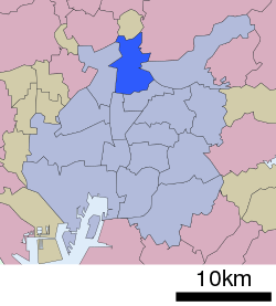 Location of Kita-ku in Nagoya | |
 Kita | |
| Coordinates: 35°11′39″N 136°54′42″E / 35.19417°N 136.91167°ECoordinates: 35°11′39″N 136°54′42″E / 35.19417°N 136.91167°E | |
| Country | Japan |
| Region |
Tōkai region Chūbu region |
| Prefecture | Aichi |
| Area | |
| • Total | 17.55 km2 (6.78 sq mi) |
| Population (February 2012) | |
| • Total | 164,619 |
| • Density | 9,380/km2 (24,300/sq mi) |
| Time zone | UTC+9 (Japan Standard Time) |
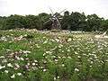
| - Tree | Sakura |
| - Flower | Cosmos (flower) [1] |
| Phone number | 052-911-3131 |
| Address | 17-1, Shimizu 4-chome, Kita-ku, Nagoya-shi, Aichi-ken 462-8511 |
| Website |
www |
Kita Ward (北区 Kita-ku) is one of the 16 wards of the city of Nagoya in Aichi Prefecture, Japan. As of 2012, the ward had an estimated population of 164,619 and a population density of 9,380 persons per km². The total area was 17.55 km².
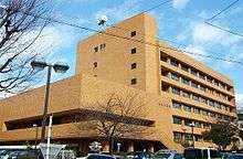
Kita-ku Ward Office
Geography
Kita Ward is the north of the center of the city of Nagoya.
Surrounding municipalities
History
Kita Ward was founded in 1944. Its area was expanded in 1946 with an addition from Higashi-ku and again in 1951 with an addition from Naka-ku. In 1955, the village of Kusunoki, formerly part of Nishikasugai District was annexed by Nagoya city, and joined to Kita Ward.
Economy
Kita Ward is largely a regional commercial center and bedroom community for central Nagoya.

Transportation
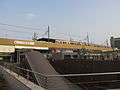
Railroads
Highways
Local attractions
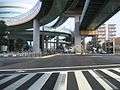
ASTRO Tower
- Meijō Park
- Tonarino
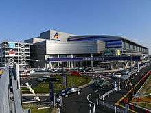
- Nagoya Airfield
- Ozmall
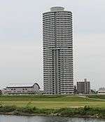
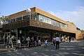 Tonarino
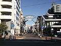 Ozmall
| Wikimedia Commons has media related to Kita-ku, Nagoya. |
References
| Wards of Nagoya | ||
|---|---|---|
| Core cities | ||
| Special cities | ||
| Cities | ||
| Districts | ||
| Law Enforcement | ||
This article is issued from
Wikipedia.
The text is licensed under Creative Commons - Attribution - Sharealike.
Additional terms may apply for the media files.