Khishniyah
| Khishniyah الخشنية חושניה | |
|---|---|
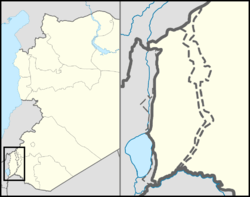 Khishniyah The Golan on the map of Syria; Khishniyah on the map of the Golan. 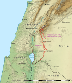 Khishniyah Khishniyah (Golan Heights)  Khishniyah Khishniyah (Israel)  Khishniyah Khishniyah (Syria) | |
| Coordinates: 32°59′56″N 35°48′40″E / 32.99889°N 35.81111°ECoordinates: 32°59′56″N 35°48′40″E / 32.99889°N 35.81111°E | |
| Country | Golan Heights, internationally recognized as Syrian territory occupied by Israel |
| Israeli District | Northern District |
| Israeli Subdistrict | Golan |
| Syrian Governorate | Quneitra Governorate |
| Syrian District | Quneitra District |
Khishniyah (Arabic: الخشنية) is a depopulated village near Al-Rafid in Quneitra Governorate, Syria.
| Quneitra District |
| ||||||||
|---|---|---|---|---|---|---|---|---|---|
| Fiq District |
| ||||||||
| Syrian localities in Israeli-occupied Golan Heights |
| ||||||||
| Israeli localities in Israeli-occupied Golan Heights |
| ||||||||
This article is issued from
Wikipedia.
The text is licensed under Creative Commons - Attribution - Sharealike.
Additional terms may apply for the media files.