Had Ness
| Had Ness חַד נֵס | |
|---|---|
 | |
 Had Ness | |
| Coordinates: 32°55′39.35″N 35°38′32.27″E / 32.9275972°N 35.6422972°ECoordinates: 32°55′39.35″N 35°38′32.27″E / 32.9275972°N 35.6422972°E | |
| District | Northern |
| Council | Golan |
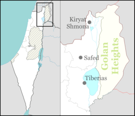
| Region | Golan Heights |
| Affiliation | Mishkei Herut Beitar |
| Founded | 1989 |
| Population (2017) | 839[1] |
| Name meaning | One Flag[2] |
| Website | http://www.hadnes4u.co.il/ |
Had Ness (Hebrew: חַד נֵס) is an Israeli settlement organized as a community settlement, in the Golan Heights. Located adjacent to the Jordan River, it falls under the jurisdiction of Golan Regional Council. In 2017 it had a population of 839.[1]
History
Had Ness was established by the Herut Beitar settlement movement. Home ownership was approved in March 1982, after the Golan Heights Law was passed in 1981. Families began to move there in 1987.[3] It was named after 3 settlements, Holit, Dekla and Neot Sinai, evacuated from the Sinai Peninsula as a result of the Israel-Egypt Peace Treaty in 1979.[4]
The international community considers Israeli settlements in the Golan Heights illegal under international law.[5]
See also
References
- 1 2 "List of localities, in Alphabetical order" (PDF). Israel Central Bureau of Statistics. Retrieved August 26, 2018.
- ↑ New Zionism and the Foreign Policy System of Israel
- ↑ The Golan Heights: Political History, Settlement and Geography since 1949, Yigal Kipnis
- ↑ http://www.golan.org.il/556/427.htm
- ↑ "The Geneva Convention". BBC. 10 December 2009.
This article is issued from
Wikipedia.
The text is licensed under Creative Commons - Attribution - Sharealike.
Additional terms may apply for the media files.