Kentstown
| Kentstown Irish: Baile an Cheantaigh | |
|---|---|
| Town | |
_-_geograph.org.uk_-_1817494.jpg) Kentstown on the R150 | |
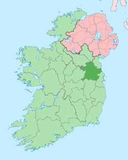
 Kentstown Location in Ireland | |
| Coordinates: 53°37′39″N 6°31′59″W / 53.62750°N 6.53306°WCoordinates: 53°37′39″N 6°31′59″W / 53.62750°N 6.53306°W | |
| Country | Ireland |
| Province | Leinster |
| County | Meath |
| Elevation | 55 m (180 ft) |
| Population (2011)[1] | |
| • Urban | 1,099 |
| Time zone | UTC+0 (WET) |
| • Summer (DST) | UTC-1 (IST (WEST)) |
| Irish Grid Reference | N970651 |
Kentstown also known as the K-Block (Irish: Baile an Cheantaigh) is a village in County Meath in Ireland at the junction of the R153 and R150 regional roads. The ruins of the medieval church can be found in Danestown, Kentstown,[2] while in the present St. Mary's Parish Church (Church of Ireland) an effigy in the shape of a medieval Norman knight is carved on a slab. The knight wears a tight-fitting jupon and has a dagger on his right hip. An inscription, in Latin, accompanies it: "Here lies Thomas de Tuite, Knight, once Lord of Kentstown, who died on 2nd June 1363".[3]
Demographics
In 2006 the village had a population of 912, a rise from the 355 it had in 2002.
Transport
Bus
In April 2016 the village's bus service was dramatically improved when Bus Éireann introduced route 105 which operates hourly in each direction providing links to Duleek, Drogheda and in the other direction to Ashbourne, Ratoath and Blanchardstown. Services to Dublin Airport can be accessed at Ashbourne and Drogheda. In addition route 103X (Navan-Ashbourne-Finglas-Dublin-UCD) provides a limited service of a morning journey to Dublin and an evening journey to Navan Mondays to Fridays inclusive. However, there are no other services to Navan from the village despite it being the county town[4][5]
Rail
Since Beauparc station closed in 1958 the nearest station is Drogheda railway station approximately 18 kilometres distant.
Nanny river
The Nanny rises outside of Kentown, and flows about 18 miles to the Irish sea at Laytown.[6]
Notes
- ↑ http://cso.ie/en/media/csoie/census/documents/census2011vol1andprofile1/Table%205.pdf
- ↑ http://www.meath.ie/LocalAuthorities/Heritage/ArchitecturalHeritage/ProtectedStructures/File,6838,en.pdf
- ↑ "Archived copy". Archived from the original on 28 July 2009. Retrieved 27 August 2008.
- ↑ http://buseireann.ie/news_timetable.php?id=1961&month=Apr
- ↑ http://buseireann.ie/timetables/1465298560-Route-103X_V3.pdf%5Bpermanent+dead+link%5D
- ↑ Peter O'Reilly. Rivers of Ireland: A Flyfisher's Guide. Stackpole Books, Apr 1, 2003, p. 226.