Kayraktepe Dam
| Kayraktepe Dam | |
|---|---|
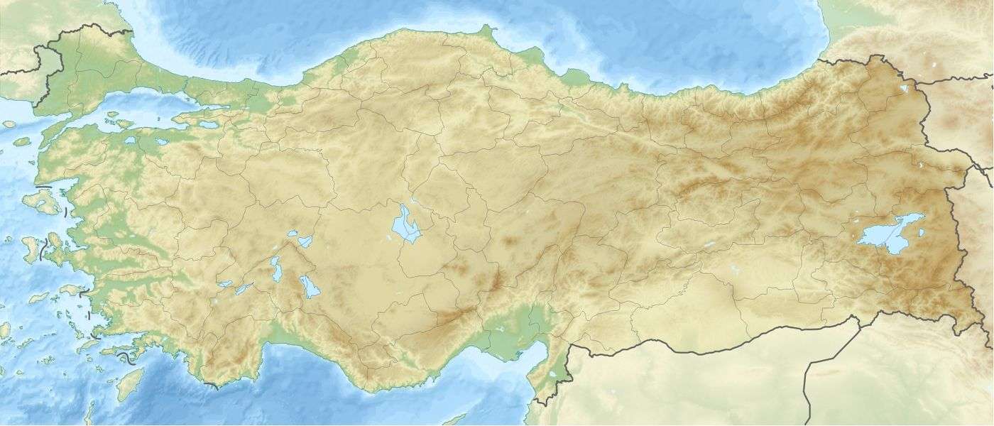
 Location of Kayraktepe Dam in Turkey | |
| Country | Turkey |
| Location | Silifke, Mersin Province |
| Coordinates | 36°30′50″N 33°31′05″E / 36.51389°N 33.51806°ECoordinates: 36°30′50″N 33°31′05″E / 36.51389°N 33.51806°E |
| Dam and spillways | |
| Impounds | Göksu River |
| Height | 90 m (295 ft) |
| Height (thalweg) | 100 m (330 ft) |
| Reservoir | |
| Surface area | 59.3 km2 (23 sq mi) |
| Power Station | |
| Installed capacity | 281.75 MWe |
| Annual generation | 689 GWh |
Kayraktepe Dam is a planned hydroelectric plant of Turkey.
It is at 36°30′50″N 33°31′05″E / 36.51389°N 33.51806°E in Silifke ilçe (district) of Mersin Province. It is to the south of Turkish state highway ![]()
The dam is planned to be on Göksu River. It was planned 30 years ago. But Göksu River valley is a fertile agricultural area (olive, grapes, figs, apricot etc.) and the construction was delayed because of the environmental concerns.
Technical details
Its hydraulic head will be about 90 metres (300 ft) and the area of the reservoir will be 59.3 square kilometres (22.9 sq mi) between Silifke, Mut and Gülnar ilçes. The nominal power of the turbines will be 281.75 MWe. With this power the annual energy production is calculated to be 688 820 000 KW-hr. [2]