Kürtün Dam
| Kürtün Dam | |
|---|---|
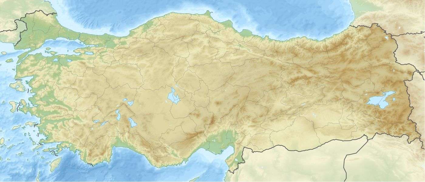 Location of Kürtün Dam in Turkey | |
| Official name | Kürtün Baraji |
| Country | Turkey |
| Location | Kürtün |
| Coordinates | 40°40′54″N 39°07′39″E / 40.68167°N 39.12750°ECoordinates: 40°40′54″N 39°07′39″E / 40.68167°N 39.12750°E |
| Status | Operational |
| Construction began | 1986 |
| Opening date | 2003 |
| Owner(s) | Turkish State Hydraulic Works |
| Dam and spillways | |
| Type of dam | Embankment, concrete-face rock-fill |
| Impounds | Harşit River |
| Height | 133 m (436 ft) |
| Length | 300 m (984 ft) |
| Dam volume | 3,800,000 m3 (4,970,212 cu yd) |
| Reservoir | |
| Total capacity | 108,200,000 m3 (87,719 acre⋅ft) |
| Power Station | |
| Commission date | 2004 |
| Type | Conventional |
| Turbines | 2 x 40 MW Francis-type |
| Installed capacity | 80 MW[1] |
The Kürtün Dam is a concrete-face rock-fill dam on the Harşit River located 5 km (3 mi) east of Kürtün in Gümüşhane Province, Turkey. The development was backed by the Turkish State Hydraulic Works. Construction began in 1986 and the reservoir started to fill in 2002. The dam was completed in 2003 and its underground power station became operational in 2004. The hydroelectric power station, located below and just downstream of the right abutment of the dam, has an installed capacity of 80 MW.[2]
See also
References
- ↑ "CFRD practice in Turkey". International Water Power and Dam Construction. 17 April 2007. Archived from the original on 5 June 2012. Retrieved 19 November 2011.
- ↑ "Regional Office - Trabzon" (in Turkish). State Hydraulic Works. Retrieved 19 November 2011.
This article is issued from
Wikipedia.
The text is licensed under Creative Commons - Attribution - Sharealike.
Additional terms may apply for the media files.