Kaoma Airport
| Kaoma Airport | |||||||||||
|---|---|---|---|---|---|---|---|---|---|---|---|
| Summary | |||||||||||
| Airport type | Public | ||||||||||
| Serves | Kaoma, Zambia | ||||||||||
| Elevation AMSL | 3,670 ft / 1,119 m | ||||||||||
| Coordinates | 14°47′50″S 24°48′30″E / 14.79722°S 24.80833°ECoordinates: 14°47′50″S 24°48′30″E / 14.79722°S 24.80833°E | ||||||||||
| Map | |||||||||||
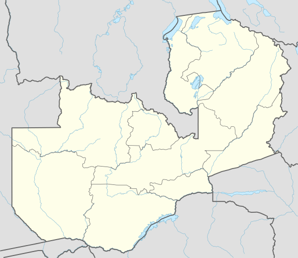 KMZ Location of the airport in Zambia | |||||||||||
| Runways | |||||||||||
| |||||||||||
Kaoma Airport (IATA: KMZ, ICAO: FLKO) is an airport serving Kaoma, Western Province, Zambia. The airport is within the northern section of the city.
See also


- Transport in Zambia
- List of airports in Zambia
References
- ↑ Airport information for Kaoma Airport at Great Circle Mapper.
- ↑ "Kaoma Airport". Google Maps. Google. Retrieved 24 June 2018.
External links
- FallingRain - Kaoma Airport
- OpenStreetMap - Kaoma
- Accident history for Kaoma Airport at Aviation Safety Network
- Google Earth
This article is issued from
Wikipedia.
The text is licensed under Creative Commons - Attribution - Sharealike.
Additional terms may apply for the media files.