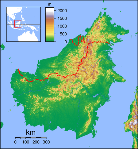
Kalampunian Damit Island
 Kalampunian Damit Island | |
| Geography | |
|---|---|
| Coordinates | 5°46′0″N 115°40′59″E / 5.76667°N 115.68306°ECoordinates: 5°46′0″N 115°40′59″E / 5.76667°N 115.68306°E |
| Administration | |
| State |
|
Kalampunian Damit Island (Malay: Pulau Kalampunian Damit) also known as Snake Island[1][2] is an island located in the West Coast of Sabah, Malaysia. This island is part of the Tiga Island National Park along with the Kalampunian Besar Island and Tiga Island.[2]
See also
References
- ↑ "Pulau Kalampunian Damit". Virtual Malaysia. Retrieved 28 July 2013.
- 1 2 "Pulau Kalampunian Damit". Lonely Planet. Retrieved 28 July 2013.
This article is issued from
Wikipedia.
The text is licensed under Creative Commons - Attribution - Sharealike.
Additional terms may apply for the media files.