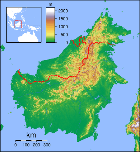
Kalampunian Besar Island
 Kalampunian Besar Island | |
| Geography | |
|---|---|
| Coordinates | 5°45′0″N 115°40′0″E / 5.75000°N 115.66667°ECoordinates: 5°45′0″N 115°40′0″E / 5.75000°N 115.66667°E |
| Administration | |
| State |
|
Kalampunian Besar Island (Malay: Pulau Kalampunian Besar) is an island located in the West Coast of Sabah, Malaysia. This island is one of the Tiga Island National Park, along with the Kalampunian Damit Island and Tiga Island.
See also
References
This article is issued from
Wikipedia.
The text is licensed under Creative Commons - Attribution - Sharealike.
Additional terms may apply for the media files.