Hlavňovice
| Hlavňovice | |
|---|---|
| Municipality | |
 | |
 Hlavňovice | |
| Coordinates: 49°13′58″N 13°23′46″E / 49.23278°N 13.39611°ECoordinates: 49°13′58″N 13°23′46″E / 49.23278°N 13.39611°E | |
| Country |
|
| Region | Plzeň |
| District | Klatovy |
| Area | |
| • Total | 24.1 km2 (9.3 sq mi) |
| Elevation | 687 m (2,254 ft) |
| Population (2006) | |
| • Total | 504 |
| • Density | 21/km2 (54/sq mi) |
| Postal code | 341 42 to 342 01 |
Hlavňovice is a village and municipality (obec) in Klatovy District in the Plzeň Region of the Czech Republic.
The municipality covers an area of 24.1 square kilometres (9.3 sq mi), and has a population of 504 (as at 28 August 2006).
Hlavňovice lies approximately 20 kilometres (12 mi) south-east of Klatovy, 58 km (36 mi) south of Plzeň, and 121 km (75 mi) south-west of Prague.
Gallery
 Road
Road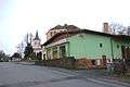 Local store
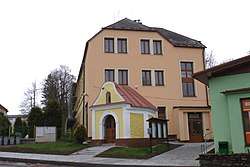
 House in Hlavňovice
References
| Wikimedia Commons has media related to Hlavňovice. |
This article is issued from
Wikipedia.
The text is licensed under Creative Commons - Attribution - Sharealike.
Additional terms may apply for the media files.