Heves District
| Heves District Hevesi járás | ||
|---|---|---|
| Districts of Hungary | ||
| ||
 Heves District within Hungary and Heves County. | ||
| Country |
| |
| County | Heves | |
| District seat | Heves (town) | |
| Area | ||
| • Total | 697.68 km2 (269.38 sq mi) | |
| Area rank | 2nd in Heves | |
| Population (2011 census) | ||
| • Total | 35,036 | |
| • Rank | 4th in Heves | |
| • Density | 50/km2 (100/sq mi) | |
Heves (Hungarian: Hevesi járás) is a district in south-eastern part of Heves County. Heves is also the name of the town where the district seat is found. The district is located in the Northern Hungary Statistical Region.
Geography
Heves District borders with Füzesabony District to the northeast, Kunhegyes District (Jász-Nagykun-Szolnok County) to the southeast, Jászapáti District (Jász-Nagykun-Szolnok County) to the southwest, Gyöngyös District to the northwest. The number of the inhabited places in Heves District is 17.
Municipalities
The district has 2 towns and 15 villages. (ordered by population, as of 1 January 2012)[1]
The bolded municipalities are cities.
Demographics
Religion in Heves District (2011 census)
In 2011, it had a population of 35,036 and the population density was 50/km².
| Year | County population[2] | Change |
|---|---|---|
| 2011 | 35,036 | n/a |
Ethnicity
Besides the Hungarian majority, the main minority is the Roma (approx. 5,500).
Total population (2011 census): 35,036
Ethnic groups (2011 census):[3] Identified themselves: 35,799 persons:
- Hungarians: 30,343 (84.76%)
- Gypsies: 5,182 (14.48%)
- Others and indefinable: 274 (0.77%)
Approx. 1,000 persons in Heves District did declare more than one ethnic group at the 2011 census.
Religion
Religious adherence in the county according to 2011 census:[4]
- Catholic – 19,112 (Roman Catholic – 19,045; Greek Catholic – 64);
- Reformed – 1,932;
- Evangelical – 66;
- other religions – 454;
- Non-religious – 5,095;
- Atheism – 158;
- Undeclared – 8,219.
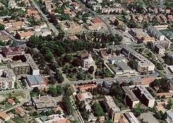
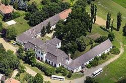
Gallery


See also
References
- ↑ A KSH 2012. évi helységnévkönyve
- ↑ népesség.com, "Hevesi járás népessége"
- ↑ 4.1.6.1 A népesség nemzetiség szerint, 2011, (in Hungarian)
- ↑ 4.1.7.1 A népesség vallás, felekezet szerint, 2011, (in Hungarian)
External links
| Towns (2) | ||
|---|---|---|
| Villages (15) | ||
Coordinates: 47°36′00″N 20°21′00″E / 47.6000°N 20.3500°E