Feijó, Acre
Coordinates: 08°09′50″S 70°21′14″W / 8.16389°S 70.35389°W
| Feijó, Acre | |
|---|---|
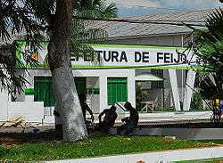 City Hall of Feijó | |
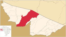 Location of municipality in Acre State | |
| Coordinates: 8°9′50″S 70°21′14″W / 8.16389°S 70.35389°W | |
| Country |
|
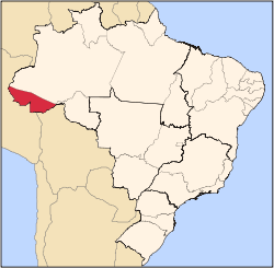
| State | Acre |
| Government | |
| • Mayor | Kiefer Roberto Cavalcante Lima (PP) |
| Area[1] | |
| • Total | 9,344 sq mi (24,202 km2) |
| Population (2010)[2] | |
| • Total | 32,311 |
Feijó is municipality located in the center of the Brazilian state of Acre. Its population is 31 288 and its area is 24,202 km².
The city is served by Feijó Airport.
The municipality contains the 231,555 hectares (572,180 acres) Santa Rosa do Purus National Forest, a sustainable use conservation unit created in 2001.[3]
References
- ↑ IBGE 2010 area information
- ↑ IBGE 2010 population information Archived May 16, 2011, at the Wayback Machine.
- ↑ FLONA de Santa Rosa do Purus (in Portuguese), ISA: Instituto Socioambiental, retrieved 2016-06-21
This article is issued from
Wikipedia.
The text is licensed under Creative Commons - Attribution - Sharealike.
Additional terms may apply for the media files.