Featherbed Top
| Featherbed Top | |
|---|---|
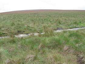 Featherbed Top seen from Featherbed Moss | |
| Highest point | |
| Elevation | 544 m (1,785 ft) [1] |
| Prominence | 32 m[1] |
| Parent peak | Kinder Scout |
| Listing | Dewey, TuMP |
| Coordinates | 53°25′30″N 1°51′53″W / 53.4251°N 1.8648°WCoordinates: 53°25′30″N 1°51′53″W / 53.4251°N 1.8648°W |
| Geography | |
| Location | Derbyshire, England, UK |
| Parent range | Peak District |
| OS grid | SK090920 |
| Topo map | OS Landranger 110; OL1W |
Featherbed Top is an open, flat-topped hill, 544 metres (1,785 ft) high, in the Peak District in the county of Derbyshire in England.[1][2]
Description
Featherbed Top is a bare, domed summit covered by peat moorland. It rises about 900 metres (3,000 ft) south of where the Pennine Way crosses Snake Pass and ESE of the town of Glossop. It is one of the highest hills in the Peak District. The surrounding moorland is known as Featherbed Moss, but this should not be confused with the hill of the same name about 10 kilometres (6.2 mi) further north.[2]
References
- 1 2 3 Featherbed Top at themountainguide.co.uk. Retrieved 10 Mar 2016.
- 1 2 Featherbed Top at www.hill-bagging.co.uk. Retrieved 10 Mar 2016.
Peaks of the Peak District of England | ||
|---|---|---|
| Marilyns | 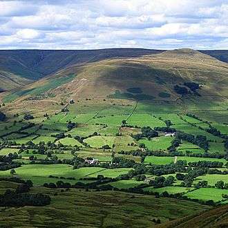 | |
| Other peaks |
| |
This article is issued from
Wikipedia.
The text is licensed under Creative Commons - Attribution - Sharealike.
Additional terms may apply for the media files.