Faga'itua
| Faga'itua | |
|---|---|
| Village | |
 Faga'itua | |
| Coordinates: 14°16′03″S 170°36′50″W / 14.26750°S 170.61389°WCoordinates: 14°16′03″S 170°36′50″W / 14.26750°S 170.61389°W | |
| Country |
|
| Territory |
|
| Area | |
| • Total | 0.53 sq mi (1.37 km2) |
| Elevation | 26 ft (8 m) |
| Population (2012) | |
| • Total | 466 |
| • Density | 880/sq mi (340/km2) |
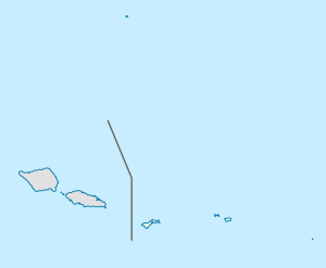
Faga'itua is a village in the east of Tutuila Island, American Samoa. It is located on the central coast of Faga'itua Bay.
Coral reefs at Faga'itua suffered significant damage during the 2009 tsunami.[1]
| Topics | |
|---|---|
| Geography | |
| Politics | |
| Economy | |
| Culture | |
| Districts | |
| Islands | |
| Villages |
|
References
This article is issued from
Wikipedia.
The text is licensed under Creative Commons - Attribution - Sharealike.
Additional terms may apply for the media files.