Alofau
| Alofau | |
|---|---|
| Village | |
 Alofau | |
| Coordinates: 14°16′45″S 170°36′8″W / 14.27917°S 170.60222°WCoordinates: 14°16′45″S 170°36′8″W / 14.27917°S 170.60222°W | |
| Country |
|
| Territory |
|
| Area | |
| • Total | 0.50 sq mi (1.29 km2) |
| Population (2000) | |
| • Total | 495 |
| • Density | 990/sq mi (380/km2) |
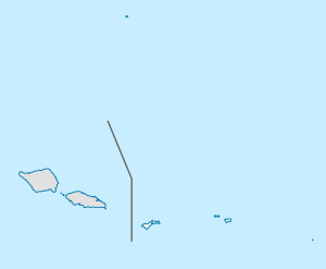
Alofau is a village on the southeast coast of Tutuila Island, American Samoa. It is located at the eastern end of Faga'itua Bay, six miles east of Pago Pago, between Pagai and Amouli. It is home to Alofau Village Marine Protected Area. It is an agrarian and traditional village. It is also a poor village with residents with low literacy and high unemployment rates. As of the U.S. Census 2000, the per capita income was $4,357 and 67 percent of children were below the poverty line. 15.6 percent of residents were receiving public assistance.[1] It is lauded as a kava place in the Manu'a Songs.[2]
Alofau Volcano is a major named volcano on Tutuila Island, although it is sometimes regarded as part of Pago Volcano.[3][4]
An Adventist congregation had been established in the village by 1956.[5]
References
- ↑ Park, Clara C. and Russell Endo (2005). Asian and Pacific American Education: Learning, Socialization, and Identity. IAP. Pages 127-128. ISBN 9781607525080.
- ↑ Krämer, Augustin (2000). The Samoa Islands: An Outline of a Monograph With Particular Consideration of German Samoa. University of Hawaii Press. Page 435. ISBN 9780824822194.
- ↑ https://scholarspace.manoa.hawaii.edu/bitstream/10125/938/1/v39n4-311-320.pdf (Page 4).
- ↑ Nunn, Patrick D. (1998). Pacific Island Landscapes. Page 165. ISBN 9789820201293.
- ↑ Watt, Abbie Le'ala Lam Yuen (2000). Tini: Trailblazer in the Wake of the Pitcairn. Teach Services, Inc. Page 53. ISBN 9781572581661.
| Topics | |
|---|---|
| Geography | |
| Politics | |
| Economy | |
| Culture | |
| Districts | |
| Islands | |
| Villages |
|