Eynesbury Hardwicke
| Eynesbury Hardwicke | |
|---|---|
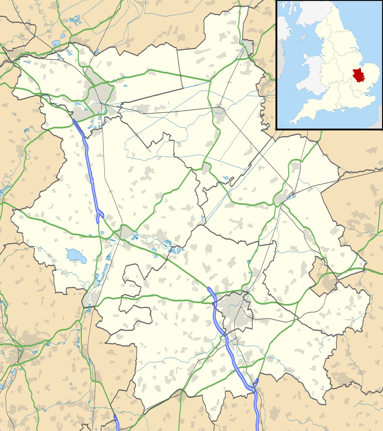 Eynesbury Hardwicke Eynesbury Hardwicke shown within Cambridgeshire | |
| OS grid reference | TL2056 |
| District | |
| Shire county | |
| Region | |
| Country | England |
| Sovereign state | United Kingdom |
| Post town | St Neots |
| Postcode district | PE19 |
| Dialling code | 01480 |
| Police | Cambridgeshire |
| Fire | Cambridgeshire |
| Ambulance | East of England |
| EU Parliament | East of England |
Eynesbury Hardwicke was a civil parish in the Huntingdonshire part of Cambridgeshire, England.
Eynesbury Hardwicke was historically part of Eynesbury parish. That parish was split in two in 1895;[1] the village of Eynesbury was incorporated into the town of St Neots.[2] Eynesbury Hardwicke parish was formed from the remaining 2,641 acres (10.7 km²) of countryside.[1]
Caldecote Manor, Eynesbury Hardwicke House[2] and the site of an abandoned village, Weald,[3] are in the former parish. It did not contain a parish church or settlement[2]—though by the time of its dissolution Eynesbury had expanded into the parish[4]—but it did have a parish council.[5] At the time of the 2001 census, the parish had a population of 1,124.[6]
The civil parish was abolished on 1 April 2010 and the area divided between Abbotsley and St Neots.[7]
References
- 1 2 Page, William (1932). Proby, Granville; Inskip Ladds, S., eds. A History of the County of Huntingdon: Volume 2. London. pp. 272–280.
- 1 2 3 "Eynesbury Hardwicke". Towns and Parishes. Huntingdonshire District Council. Archived from the original on September 30, 2009. Retrieved 2 December 2009.
- ↑ "Ancient "lost" villages of Huntingdonshire". www.huntingdonshire.info. The County of Huntingdonshire UK]. Retrieved 2 December 2009.
- ↑ "Map of Eynesbury Hardwick:Ordnance Survey 1:25,000 mapping". www.streetmap.co.uk. Streetmap. Retrieved 2 December 2009.
- ↑ "Eynesbury Hardwicke Parish Council - Key Contacts". Parish council. Huntingdonshire District Council. Retrieved 2 December 2009.
- ↑ "Area: Eynesbury Hardwicke CP (Parish)". 2001 Census: Key Statistics > Parish Headcounts. Office for National Statistics. Retrieved 2 December 2009.
- ↑ "Parish Boundaries". Huntingdonshire District Council. Archived from the original on 2011-07-19. Retrieved 9 June 2017.
| Unitary authorities | |
|---|---|
| Boroughs or districts | |
| Major settlements | |
| Rivers | |
| Topics |
|