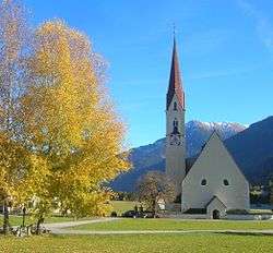
Elbigenalp
| Elbigenalp | ||
|---|---|---|
 | ||
| ||
 Elbigenalp Location within Austria | ||
| Coordinates: 47°17′28″N 10°26′21″E / 47.29111°N 10.43917°ECoordinates: 47°17′28″N 10°26′21″E / 47.29111°N 10.43917°E | ||
| Country | Austria | |
| State | Tyrol | |
| District | Reutte | |
| Government | ||
| • Mayor | Markus Gerber | |
| Area | ||
| • Total | 33.09 km2 (12.78 sq mi) | |
| Elevation | 1,039 m (3,409 ft) | |
| Population (1 January 2016)[1] | ||
| • Total | 886 | |
| • Density | 27/km2 (69/sq mi) | |
| Time zone | UTC+1 (CET) | |
| • Summer (DST) | UTC+2 (CEST) | |
| Postal code | 6652 | |
| Area code | 05634 | |
| Vehicle registration | RE | |
| Website |
www.elbigenalp. tirol.gv.at | |

Elbigenalp is a municipality in the district of Reutte in the Austrian state of Tyrol.
Geography
Elbigenalp lies about in the middle of the Lech valley.
References
External links
| Wikimedia Commons has media related to Elbigenalp. |
This article is issued from
Wikipedia.
The text is licensed under Creative Commons - Attribution - Sharealike.
Additional terms may apply for the media files.