Dirkou
| Dirkou Dirki | |
|---|---|
| Commune | |
 | |
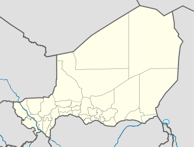 Dirkou Location in Niger | |
| Coordinates: 19°2′0″N 12°54′12″E / 19.03333°N 12.90333°ECoordinates: 19°2′0″N 12°54′12″E / 19.03333°N 12.90333°E | |
| Country |
|
| Region | Agadez Region |
| Department | Bilma Department |
| Commune | Dirkou |
| Elevation | 1,601 ft (487 m) |
| Population (2011) | |
| • Total | 14,998 |
| Time zone | UTC+1 (WAT) |
Dirkou is a town in the Bilma Department, Agadez Region of north-eastern Niger. It lies in the northern Kaouar escarpment, a north-south line of cliffs which form an isolated oasis in the Sahara desert. As of 2011, the commune had a total population of 14,998 people.[1]
The town is just south of Séguédine, and around 90 km north of Departmental capital Bilma. While isolated in modern Niger, it once lay on the important central soudan route of the Trans-Saharan trade which linked coastal Libya and the Fezzan to the Kanem-Bornu Empire near Lake Chad. Its population is made up primarily of traditionally sedentary Kanuri people, as well as semi-nomadic Tuareg and Tubu people.[2][3]
The Central Intelligence Agency operates a drone base near Dirkou.[4]
Transport
The town is served by Dirkou Airport. It is on the route some migrants have taken from Niger to Libya.[5]
References
- ↑ "Annuaires_Statistiques" (PDF). Institut National de la Statistique. Retrieved 2 May 2013.
- ↑ Decalo, Samuel (1997). Historical Dictionary of the Niger (3rd ed.). Boston & Folkestone: Scarecrow Press. ISBN 0-8108-3136-8.
- ↑ Geels, Jolijn (2006). Niger. Chalfont St Peter, Bucks / Guilford, Connecticut: Bradt UK / Globe Pequot Press. ISBN 978-1-84162-152-4.
- ↑ The New York Times (September 10, 2018). "How a C.I.A. Drone Base Grew in Niger's Desert". YouTube.
- ↑ "Over 40 people 'die of thirst' in Sahara Desert". BBC News. June 1, 2017. Retrieved June 3, 2017.