Koré Maïroua
| Koré Maïroua Koremairwa | |
|---|---|
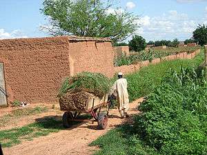 A farmer collecting millet in Koremairwa village | |
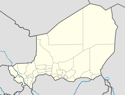 Koré Maïroua Location in Niger | |
| Coordinates: 13°17′59″N 3°54′24″E / 13.29972°N 3.90667°ECoordinates: 13°17′59″N 3°54′24″E / 13.29972°N 3.90667°E | |
| Country |
|
| Department | Dosso department |
| District | Doutchi District |
| Elevation | 229 m (751 ft) |
Koré Maïroua often spelled Koremairwa is a village and commune in south-western Niger. It is the located in Doutchi District in the Dosso (department) approximately 65 kilometres north-east of Dosso.
The village is primarily agricultural based; millet farming contributes much to the local economy.
Nearby towns and villages include Koukoki (2.5 nm), Galozi (1.1 nm), Rizia Mayaki (3.6 nm), Banizoumbou (2.0 nm) and Angoa Dambane (3.0 nm).
This article is issued from
Wikipedia.
The text is licensed under Creative Commons - Attribution - Sharealike.
Additional terms may apply for the media files.