Goudoumaria
| Goudoumaria | |
|---|---|
 Goudoumaria | |
| Coordinates: 13°42′40″N 11°11′25″E / 13.71111°N 11.19028°ECoordinates: 13°42′40″N 11°11′25″E / 13.71111°N 11.19028°E | |
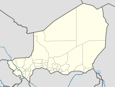
| Country |
|
| Region | Diffa |
| Department | Maïné-Soroa |
| Elevation | 351 m (1,154 ft) |
| Time zone | UTC+1 (UTC+1) |
| • Summer (DST) | UTC+1 (UTC+1) |
Goudoumaria, Niger (var. Goudomaria, Gudumaria) is a town in the southeast of the country, in Diffa Region, northwest of Diffa. Goudoumaria is an administrative post in the Maine-Soroa Department, and is approx. 50km north of the Nigerian border and approx. 50km east of the small city Soubdou.
Climate
Goudoumaria, historically an area of pastoralism and marginal farming, is in the Sahel region, bordering the Sahara. Desertification has led to a growth of Date palm farming in recent decades.
References
This article is issued from
Wikipedia.
The text is licensed under Creative Commons - Attribution - Sharealike.
Additional terms may apply for the media files.