Detroit Island
 Facing the northern side of the island from the harbor | |
 Detroit Island  Detroit Island | |
| Geography | |
|---|---|
| Location | Door County, Wisconsin |
| Coordinates | 45°19′17″N 86°54′58″W / 45.321487°N 86.916073°WCoordinates: 45°19′17″N 86°54′58″W / 45.321487°N 86.916073°W |
| Area | 0.9955 sq mi (2.578 km2) |
| Highest elevation | 594 ft (181.1 m) |
| Administration | |
|
United States | |
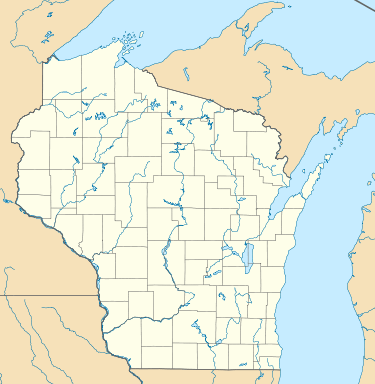
Detroit Island is a privately owned island in Lake Michigan in the southern part of the town of Washington in Door County, Wisconsin, United States. The island has a land area of 2.578 km² (0.9955 sq mi, or 637.12 acres).[1][2] The northern end of the island borders the waters of Detroit Harbor.
History
The border between Wisconsin and Michigan was originally defined as "the most usual ship channel" into Green Bay from Lake Michigan but commercial routes existed both to the north and south of the island which lead to a border dispute. In 1936, the U.S. Supreme Court decision Wisconsin v. Michigan found that Detroit and three other islands were part of Wisconsin.
References
This article is issued from
Wikipedia.
The text is licensed under Creative Commons - Attribution - Sharealike.
Additional terms may apply for the media files.
