Darlings Beach
| Darlings Beach | |
|---|---|
| Organized Hamlet | |
 Darlings Beach | |
| Coordinates: 52°55′44″N 108°36′18″W / 52.92889°N 108.60500°W | |
| Country | Canada |
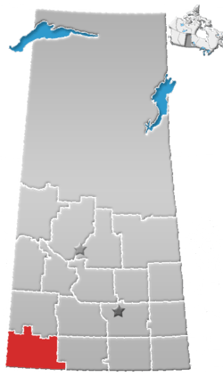
| Province | Saskatchewan |
| Region | Southwest Saskatchewan |
| Census division | 4 |
| Rural Municipality | Lac Pelletier |
| Area | |
| • Land | 0.21 km2 (0.08 sq mi) |
| Population (2016) | |
| • Total | 0 |
| Time zone | CST |
| Area code(s) | 306 |
| Highways | Highway 343 |
| Railways | None |
| [1][2][3][4] | |
Darlings Beach is a hamlet in Rural Municipality of Lac Pelletier No. 107, Saskatchewan, Canada. Listed as a designated place by Statistics Canada, the hamlet had a population of 0 in the Canada 2011 Census.[5] The hamlet is located on the east shores of the Lac Pelletier, within the Lac Pelletier Regional Park. It is approximately 48.1 kilometres (29.9 mi) south and west of Swift Current, 4.4 km south of Highway 343.
Demographics
| Canada census – Darlings Beach community profile | |||
|---|---|---|---|
| 2016 | 2011 | 2006 | |
| Population: | 0 (0% from 2011) | 0 (-100.0% from 2006) | 5 (% from 2001) |
| Land area: | 0.21 km2 (0.081 sq mi) | 0.21 km2 (0.081 sq mi) | 0.21 km2 (0.081 sq mi) |
| Population density: | 0.0/km2 (0/sq mi) | 0.0/km2 (0/sq mi) | |
| Median age: | |||
| Total private dwellings: | 0 | 0 | |
| Median household income: | $N/A | $N/A | $N/A |
| References: 2016[6] 2011[7] 2006[8] earlier[9] | |||
See also
References
- ↑ National Archives, Archivia Net, Post Offices and Postmasters
- ↑ Government of Saskatchewan, MRD Home, Municipal Directory System, archived from the original on November 21, 2008
- ↑ Canadian Textiles Institute. (2005), CTI Determine your provincial constituency
- ↑ Commissioner of Canada Elections, Chief Electoral Officer of Canada (2005), Elections Canada On-line
- ↑ Canada 2011 Census: Designated places in Saskatchewan
- ↑ "2016 Community Profiles". Canada 2016 Census. Statistics Canada. February 21, 2017.
- ↑ "2011 Community Profiles". Canada 2011 Census. Statistics Canada. July 5, 2013.
- ↑ "2006 Community Profiles". Canada 2006 Census. Statistics Canada. March 30, 2011.
- ↑ "2001 Community Profiles". Canada 2001 Census. Statistics Canada. February 17, 2012.
External links
| Subdivisions | |
|---|---|
| Communities | |
| Cities | |
| Topics |
|
| |
Coordinates: 49°58′47″N 107°55′39″W / 49.97972°N 107.92750°W
This article is issued from
Wikipedia.
The text is licensed under Creative Commons - Attribution - Sharealike.
Additional terms may apply for the media files.