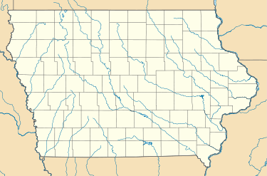
Darbyville, Iowa
| Darbyville, Iowa | |
|---|---|
| Unincorporated community | |
 Darbyville, Iowa | |
| Coordinates: 40°48′58″N 92°52′24″W / 40.81611°N 92.87333°WCoordinates: 40°48′58″N 92°52′24″W / 40.81611°N 92.87333°W | |
| Country | United States |
| State | Iowa |
| County | Appanoose |
| Elevation | 883 ft (269 m) |
| Time zone | UTC-6 (Central (CST)) |
| • Summer (DST) | UTC-5 (CDT) |
| Area code(s) | 641 |
| GNIS feature ID | 455793[1] |
Darbyville is an unincorporated community in Appanoose County, Iowa, United States.[1]
History
Darbyville was centered on a coal mine that closed in 1901 when it accidentally flooded.[2] A post office was established in Darbyville in 1891, and remained in operation until it was discontinued in 1910.[3]
References
- 1 2 U.S. Geological Survey Geographic Names Information System: Darbyville, Iowa
- ↑ Appanoose County Historical Society (2013). Appanoose County. Arcadia Publishing. p. 95. ISBN 978-0-7385-9899-4.
- ↑ "Appanoose County". Iowa Ghost Towns. Archived from the original on September 25, 2013. Retrieved 6 August 2014.
This article is issued from
Wikipedia.
The text is licensed under Creative Commons - Attribution - Sharealike.
Additional terms may apply for the media files.