Cherry Hill, Prince William County, Virginia
| Cherry Hill | |
|---|---|
| Census-designated place (CDP) | |
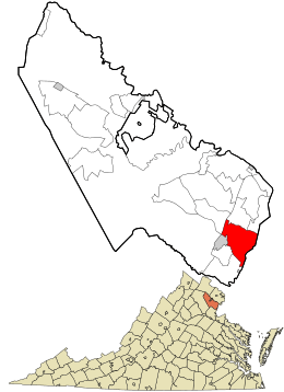 Location in Prince William County and the state of Virginia. | |
| Coordinates: 38°34′36″N 77°17′39″W / 38.57667°N 77.29417°WCoordinates: 38°34′36″N 77°17′39″W / 38.57667°N 77.29417°W | |
| Country | United States |
| State | Virginia |
| County | Prince William |
| Time zone | UTC−5 (Eastern (EST)) |
| • Summer (DST) | UTC−4 (EDT) |
| ZIP codes | 22026, 22191 |
| FIPS code | 51-15176 |
| GNIS feature ID | 2630624 |
Cherry Hill is a census-designated place (CDP) in Prince William County, Virginia, United States. The population as of the 2010 Census was 16,000.[1] It encompasses Cherry Hill peninsula east of Dumfries going into Woodbridge , with the small waterside community Potomac Shores that has long stood at the east end of it,the communities of Southbridge and River Oaks are within Cherry Hill as well as other adjoining subdivisions near U.S. Route 1 that have been built in recent years. Pope John Paul the Great is a private catholic high school in the CDP.
It was a stop on the Richmond, Fredericksburg and Potomac Railroad which was replaced by CSXT.
References
- ↑ Virginia Trend Report 2: State and Complete Places (Sub-state 2010 Census Data). Archived 2017-08-16 at the Wayback Machine. Missouri Census Data Center. Accessed 2011-06-08.
Municipalities and communities of Prince William County, Virginia, United States | ||
|---|---|---|
| Towns | 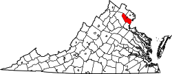 | |
| CDPs | ||
| Unincorporated communities | ||
| Footnotes | ‡This populated place also has portions in an adjacent county or counties | |
This article is issued from
Wikipedia.
The text is licensed under Creative Commons - Attribution - Sharealike.
Additional terms may apply for the media files.