Chapada dos Guimarães
| Chapada dos Guimarães | |
|---|---|
| Municipality | |
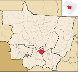 Location in Mato Grosso state | |
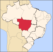
 Chapada dos Guimarães Location in Brazil | |
| Coordinates: 15°27′39″S 55°45′00″W / 15.46083°S 55.75000°WCoordinates: 15°27′39″S 55°45′00″W / 15.46083°S 55.75000°W | |
| Country |
|
| Region | Central-West Region |
| State | Mato Grosso |
| Time zone | BRT-1/BRST-1 (UTC-4/-3) |
Chapada dos Guimarães is a municipality located in central Brazil, 62 km from the city of Cuiaba, the capital of Mato Grosso State. It is home to the Chapada dos Guimarães National Park. Outside this town is the geographic center of South America.
The municipality contains 77% of the 3,534 hectares (8,730 acres) Rio da Casca Ecological Station, a strictly protected conservation unit created in 1994.[1] The municipal seat contains the 31 hectares (77 acres) Quineira State Park, created in 2006.[2]
References
- ↑ ESEC do Rio da Casca (in Portuguese), ISA: Instituto Socioambiental, retrieved 2016-07-18
- ↑ PES Quineira (in Portuguese), ISA: Instituto Socioambiental, retrieved 2016-12-10
External links
| Wikivoyage has a travel guide for Chapada dos Guimarães. |
Capital: Cuiabá | |||||||||||||||||
| Centro-Sul Mato-Grossense |
|  | |||||||||||||||
| Nordeste Mato-Grossense |
| ||||||||||||||||
| Norte Mato-Grossense |
| ||||||||||||||||
| Sudeste Mato-Grossense |
| ||||||||||||||||
| Sudoeste Mato-Grossense |
| ||||||||||||||||
This article is issued from
Wikipedia.
The text is licensed under Creative Commons - Attribution - Sharealike.
Additional terms may apply for the media files.