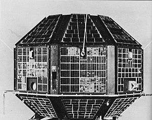
Cartosat-3
Cartosat-3 are a proposed series of remote sensing satellites from ISRO, which are intended to replace the IRS series. Cartosat-3 is an advanced version of Cartosat-2 series with improved spatial and spectral characteristics. It will have a panchromatic resolution of 0.25 metres and Mx of 1 metre which is a major improvement from the previous payloads in the Cartosat series.[1][2] Potential uses include weather mapping, cartography, and strategic applications.
Cartosat-3 is a much more capable satellite, having a resolution of 25 cm (10").[1] It uses 1.2 m optics with 60% of weight removal compared to Cartosat-2. Other features include the use of adaptive optics, acousto optical devices, in-orbit focusing using MEMs and large area-light weight mirrors.[3]
Cartosat-3 was originally planned to be launched on board PSLV during 2014.[4] However, ISRO appears to launching additional satellites in the Cartosat-2 series through 2017, and ISRO's 2017 plans involve launching Cartosat 2D/2E in 2017. Cartosat-3 series may be launched in 2018 and later.[5]
See also
References
- 1 2 N. Gopal Raj. "ISRO plans a new high-resolution earth satellite". The Hindu. Archived from the original on 19 January 2018. Retrieved 19 January 2018.
- ↑ "Archived copy". Archived from the original on 12 January 2017. Retrieved 13 December 2015.
- ↑ Current Science, Vol. 93, no. 12, 25 December 2007, page 1729.
- ↑ Isro plans satellite series for mapping, climate monitoring - livemint
- ↑ http://space.skyrocket.de/doc_sdat/cartosat-3.htm
