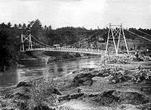
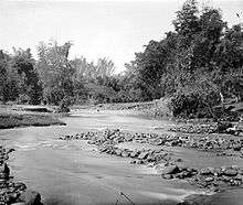
Brantas River
The Brantas is the longest river in East Java, Indonesia. It has a length of 320 km,[1] and drains an area over 11,000 km² from the southern slope of Mount Kawi-Kelud-Butak, Mount Wilis, and the northern slopes of Mount Liman-Limas, Mount Welirang, and Mount Anjasmoro.[2] Its course is semi-circular or spiral in shape: at its source the river heads southeast, but gradually curves south, then southwest, then west, then north, and finally it flows generally eastward at the point where it branches off to become the Kalimas and Porong River.
History
King Mpu Sindok moved his kingdom from Mataram Kingdom in Central Java to a new location on this river at circa 950 A.D. Possibly (only one of a number of reasons given) due to a Mount Merapi volcanic eruption, he had to leave his kingdom to this new safe place near present city of Madiun.
Cities and regencies on Brantas River
References
- ↑ Ramu, Kikkeri (December 2004). "Brantas River Basin Case Study, Indonesia" (pdf). Background Paper. Worldbank: 36.
- ↑ Whitten, T; Soeriaatmadja, R. E.; Suraya A. A. (1996). The Ecology of Java and Bali. Hong Kong: Periplus Editions Ltd. p. 132.