Brame
| Brame | |
|---|---|
 | |
| Country | France |
| Physical characteristics | |
| Main source |
La Souterraine 410 m (1,350 ft) 46°14′02″N 01°27′29″E / 46.23389°N 1.45806°E |
| River mouth |
Gartempe 123 m (404 ft) 46°16′33″N 00°56′09″E / 46.27583°N 0.93583°ECoordinates: 46°16′33″N 00°56′09″E / 46.27583°N 0.93583°E |
| Length | 60.4 km (37.5 mi) |
| Discharge |
|
| Basin features | |
| Progression | Gartempe→ Creuse→ Vienne→ Loire→ Atlantic Ocean |
| Basin size | 235 km2 (91 sq mi) |
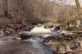
The Brame (Occitan: Brama, French: la Brame) is a 60.4 km (37.5 mi) long river in the Creuse and Haute-Vienne départements, central France.[1] Its source is at La Souterraine. It flows generally west. It is a right tributary of the Gartempe into which it flows between Thiat and Darnac.
Communes along its course
This list is ordered from source to mouth:
Notes
- This article is based on the equivalent article from the French Wikipedia, consulted on 5 May 2009.
References
This article is issued from
Wikipedia.
The text is licensed under Creative Commons - Attribution - Sharealike.
Additional terms may apply for the media files.