Botolph Claydon
| Botolph Claydon | |
|---|---|
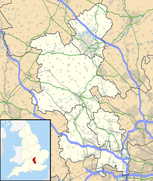 Botolph Claydon Botolph Claydon shown within Buckinghamshire | |
| OS grid reference | R |
| District | |
| Shire county | |
| Region | |
| Country | England |
| Sovereign state | United Kingdom |
| Post town | BUCKINGHAM |
| Postcode district | MK18 |
| Dialling code | 01296 |
| Police | Thames Valley |
| Fire | Buckinghamshire |
| Ambulance | South Central |
| EU Parliament | South East England |
| UK Parliament | |
Botolph Claydon is a hamlet in the civil parish of East Claydon, in Buckinghamshire, England.[1][2] It is situated about 9 miles (14 km) east of Bicester in Oxfordshire, and 7 miles (11 km) north west of Aylesbury.
Anciently the hamlet was called Botyl Claydon. The prefix comes from the Anglo-Saxon word botyl meaning 'house'. The word Claydon is also Anglo Saxon, and means 'clay hill'.

The village hall, formerly library
The village hall, built in 1912, was once the village library and was donated to the villages of East and Botolph Claydon by the Verney Family.[3]
References
- ↑ Ordnance Survey: Landranger map sheet 165 Aylesbury & Leighton Buzzard (Thame & Berkhamsted) (Map). Ordnance Survey. 2012. ISBN 9780319229163.
- ↑ "Ordnance Survey: 1:50,000 Scale Gazetteer" (csv (download)). www.ordnancesurvey.co.uk. Ordnance Survey. 1 January 2016. Retrieved 30 January 2016.
- ↑
This article is issued from
Wikipedia.
The text is licensed under Creative Commons - Attribution - Sharealike.
Additional terms may apply for the media files.