Bayanga
| Bayanga | |
|---|---|
| sub-prefectures | |
| Country |
|
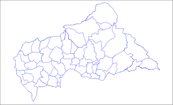
Bayanga is a sub-prefecture of Sangha-Mbaéré in the Central African Republic.[1][2]
Geography
Bayanga is located on the left bank of the Sangha , about 102 km south of the capital of Nola Prefecture, and 520 km west of Bangui .
Population
The locality of Bayanga has about 4,000 inhabitants, the territory of the sub-prefecture 9,800 inhabitants in 2003.[3]
Environment
Bayanga is located in the tropical rainforest zone in the Dzanga-Sangha Dense Forest Special Reserve and 10 km from the Dzanga-Ndoki National Park .
History
Bayanga is originally a Sangha-Sangha fishing village , in the middle of the tropical rainforest populated by hunter-gatherers: the Baaka Pygmies .
In 1988, the Central African Government and WWF committed to the establishment and management of a protected area system in the region. This is the beginning of the Dzanga-Sangha Project (PDS). This will lead in 1990 to the creation of the Dzanga-Ndoki National Park (1150 km²) and the Dzanga-Sangha Dense Forest Special Reserve (3200 km²) for multiple use.
Administration
Bayanga is with Nola in the north and Bambio in the east, one of the three sub-prefectures of the Sangha-Mbaéré . The commune of Yobe-Sangha is the only commune of the sub-prefecture .
Economy
With the creation of the Dzanga-Sangha Protected Area System (APDS) and the construction of a hotel in 1996, the foundations for the development of ecotourism activities capable of attracting an international clientele should be brought together. The locality has an airfield.