Barton, West Lancashire
| Barton | |
|---|---|
.jpg) Futuristic house at Barton | |
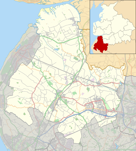 Barton Location in West Lancashire  Barton Barton shown within Lancashire | |
| OS grid reference | SD353091 |
| • London | 185 mi (298 km) SE |
| Civil parish | |
| District | |
| Shire county | |
| Region | |
| Country | England |
| Sovereign state | United Kingdom |
| Post town | ORMSKIRK |
| Postcode district | L39 |
| Dialling code | 01704 |
| Police | Lancashire |
| Fire | Lancashire |
| Ambulance | North West |
| EU Parliament | North West England |
| UK Parliament | |
Barton is a small village in the county of Lancashire, England. It is situated approximately 4 miles (6 km) west from Ormskirk, and less than 1 mile (2 km) west from the A5147 road. Barton sits on the West Lancashire Coastal Plain, and is 5 miles (8 km) from the Irish Sea coast. The village lies within the civil parish of Downholland.[1]
Barton's listing in the 1086 Domesday Book shows Roger the Poitevin as lord and Tenant-in-chief. At the time Barton was in the Hundred of West Derby in the county of Cheshire.[2][3]
The village had its own Barton railway station, which opened in 1887. The line was closed completely in 1952.[4]
See also
- Listed buildings in Downholland

References
- ↑ Downholland Parish Council, Retrieved 9 July 2014
- ↑ William Farrer & J. Brownbill (editors) (1907). "Townships: Downholland". A History of the County of Lancaster: Volume 3. Institute of Historical Research. Retrieved 9 July 2014.
- ↑ "Barton", Open Domesday, University of Hull. Retrieved 18 November 2014
- ↑ Gell, Rob (1986). An Illustrated Survey of Railway Stations Between Southport & Liverpool 1848-1986. Heyday Publishing Company. ISBN 0-947562-04-4.
External links

This article is issued from
Wikipedia.
The text is licensed under Creative Commons - Attribution - Sharealike.
Additional terms may apply for the media files.