Dalton, Lancashire
| Dalton | |
|---|---|
|
Ashurst's Beacon, on the summit of Ashurst Hill | |
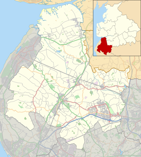 Dalton Location in West Lancashire  Dalton Dalton shown within Lancashire | |
| Population | 383 (2011) |
| OS grid reference | SD494081 |
| Civil parish |
|
| District | |
| Shire county | |
| Region | |
| Country | England |
| Sovereign state | United Kingdom |
| Post town | SKELMERSDALE |
| Postcode district | WN8 |
| Dialling code | 01695 |
| Police | Lancashire |
| Fire | Lancashire |
| Ambulance | North West |
| EU Parliament | North West England |
| UK Parliament | |
Dalton is a village and civil parish in West Lancashire, England, near Skelmersdale and south of the River Douglas. Dalton was listed in the Domesday Book, and soon after the Norman conquest became part of the Barony of Manchester. It remained part of the Manchester fee as late as 1733. Dalton has a population of 348 (2001 Census),[1] increasing to 383 at the 2011 Census.[2]
The local landscape is dominated by Ashurst Hill, which rises 570 feet (170 m) above sea level and is crowned by Ashurst's Beacon. The beacon once formed part of a relay league stretching from Everton Brow above Liverpool to Lancaster Castle, which was in place (though unused) during the Anglo–Spanish War of 1585. The current structure dates from around 1800, when local landowner Sir William Ashurst decided that a more permanent beacon was needed for the oncoming Napoleonic Wars.[3]
See also
- Listed buildings in Dalton, Lancashire

References
- ↑ Parish Profile - People (Dalton CP), Office for National Statistics. Retrieved on 29 May 2008.
- ↑ "Civil Parish population 2011". Retrieved 16 January 2016.
- ↑ Ron Freethy, "Beacon watched over troubled past", The Bolton News, 9 February 2002. Retrieved on 26 March 2008.
External links

- Dalton
- Dalton Parish Council
- Map of Dalton