Downholland
| Downholland | |
|---|---|
| Civil parish | |
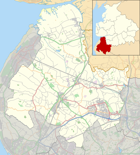 Downholland Location in West Lancashire  Downholland Location in Lancashire | |
| Coordinates: 53°33′11″N 2°57′29″W / 53.553°N 2.958°WCoordinates: 53°33′11″N 2°57′29″W / 53.553°N 2.958°W | |
| Country | England |
| Primary council | West Lancashire |
| County | Lancashire |
| Region | North West England |
| Status | Parish |
| Population (2011) | |
| • Total | 913 |
Downholland is a civil parish in Lancashire, England, on the West Lancashire Coastal Plain. The population at the 2011 census was 913.[1] The area contains several villages including Haskayne, Barton and Downholland Cross, and the Leeds and Liverpool Canal and the A5147.
Downholland was originally a township in the parish of Halsall, becoming formally a separate parish in 1866. It formed part of West Lancashire Rural District and, since 1974, is part of the West Lancashire district.
Downholland is located very near the fields that were the purported location of Argleton.
See also
References
- ↑ "Civil Parish population 2011". Retrieved 16 January 2016.
External links
- Downholland parish web site; Retrieved 27 April 2012
This article is issued from
Wikipedia.
The text is licensed under Creative Commons - Attribution - Sharealike.
Additional terms may apply for the media files.