Auguste George Airport
| Auguste George Airport | |||||||||||
|---|---|---|---|---|---|---|---|---|---|---|---|
| Summary | |||||||||||
| Airport type | Public | ||||||||||
| Operator | n/a | ||||||||||
| Location | Anegada | ||||||||||
| Elevation AMSL | 30 ft / 9 m | ||||||||||
| Coordinates | 18°43′39″N 64°19′41″W / 18.72750°N 64.32806°WCoordinates: 18°43′39″N 64°19′41″W / 18.72750°N 64.32806°W | ||||||||||
| Map | |||||||||||
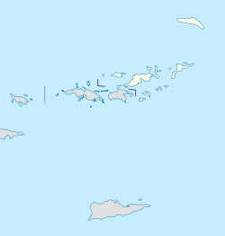 NGD Location in the British Virgin Islands | |||||||||||
| Runways | |||||||||||
| |||||||||||
Auguste George Airport (IATA: NGD, ICAO: TUPA) is the northern most airport in the British Virgin Islands and is located on the island of Anegada. The airport is named for Captain Auguste George.
Airlines and destinations
There are only a handful of air charter companies who serve the island, and currently there is no scheduled air carrier service. Island Birds Air Charter and Fly BVI Ltd offer direct on-demand air charter service from Beef Island (Tortola), Virgin Gorda, St. Thomas, San Juan, Antigua and St. Maarten to the aerodrome on Anegada. This service is also provided by Island Birds Air Charter.
References
- ↑ Airport information for TUPA at Great Circle Mapper. Source: DAFIF (effective October 2006).
External links
This article is issued from
Wikipedia.
The text is licensed under Creative Commons - Attribution - Sharealike.
Additional terms may apply for the media files.