Anglesey Airport
| Anglesey Airport Maes Awyr Môn RAF Valley | |||||||||||||||||||
|---|---|---|---|---|---|---|---|---|---|---|---|---|---|---|---|---|---|---|---|
 | |||||||||||||||||||
 | |||||||||||||||||||
| Summary | |||||||||||||||||||
| Airport type | Military/Public | ||||||||||||||||||
| Operator | Operon | ||||||||||||||||||
| Serves |
Anglesey Gwynedd | ||||||||||||||||||
| Location | Llanfair yn Neubwll, Isle of Anglesey | ||||||||||||||||||
| Elevation AMSL | 37 ft / 11 m | ||||||||||||||||||
| Coordinates | 53°14′53″N 004°32′07″W / 53.24806°N 4.53528°WCoordinates: 53°14′53″N 004°32′07″W / 53.24806°N 4.53528°W | ||||||||||||||||||
| Website | Anglesey Airport | ||||||||||||||||||
| Map | |||||||||||||||||||
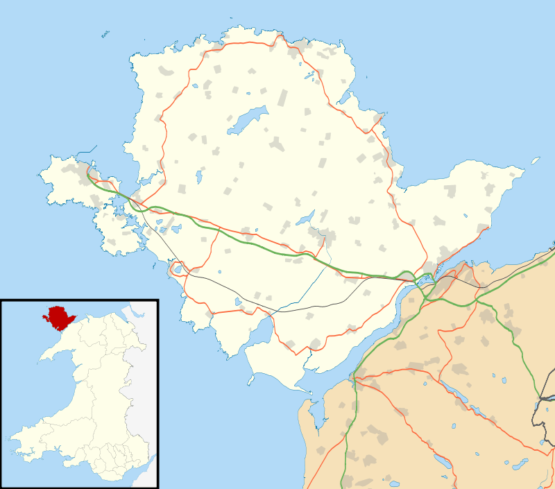 EGOV Location of airport in Anglesey | |||||||||||||||||||
| Runways | |||||||||||||||||||
| |||||||||||||||||||
Anglesey Airport (Maes Awyr Môn) (IATA: VLY, ICAO: EGOV) is an airport owned by the Isle of Anglesey County Council on land leased from the Defence Infrastructure Organisation. The airport is situated at Llanfair yn Neubwll on the Isle of Anglesey, Wales. The leased site is part of RAF Valley, an RAF station teaching RAF pilots using BAE Hawks.
History
Plans put forward in early 2006 by the National Assembly for Wales have led to a subsidised weekday air service between the airport and Cardiff Airport, 12 miles west of the Welsh capital in the hope of improving the economy of Anglesey and North Wales in general. The twice daily service began in May 2007.
For residents of Anglesey, the air service is significantly quicker than surface transport. Gate-to-gate travel time to Cardiff is around 1 hour. However passenger usage is very low. Holyhead railway station had 237,000 passengers in 2012-2013, and even the small station near the airport Valley railway station with 17,968 annual passengers far surpassed the usage of the airport.
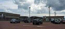
The passenger terminal is a single storey building consisting of a check-in desk, departure lounge and baggage handling areas as well as other visitor information areas. The terminal, completed in 2007, was designed by MAP architects and cost £1,000,000.[3] The publicly funded building contract was given to the construction company Yorkon. The building was built off site and brought to the airport when finished.
The airport's principal stakeholders are RAF Valley, The Senedd, the Isle of Anglesey County Council and Cardiff Airport.
In March 2018, flights between Anglesey Airport and Cardiff Airport were suspended due to a Hawk aircraft from the Red Arrows crashing onto the runway. Domestic flights were being diverted to Hawarden Airport in Flintshire with coaches transporting passengers between Valley and Hawarden.[4]
Airline and destinations
| Airlines | Destinations |
|---|---|
| Flybe | Cardiff |
On 13 March 2017 the service was taken over by Eastern Airways using a Jetstream 41 operating under the Flybe franchise.[5]
The previous service between Anglesey Cardiff was operated by Links Air. On 21 October 2015 the CAA suspended Links Air's operating certificate[6] over safety concerns, stating that, "Safety is always our first priority and we will always take action when necessary to protect the travelling public."
Statistics
| Year | Destination | Passengers handled | Percentage Change |
|---|---|---|---|
| 2007 | Cardiff Airport | 8,553 | |
| 2008 | Cardiff Airport | 13,471 | |
| 2009 | Cardiff Airport | 11,846 | |
| 2010 | Cardiff Airport | 7,816 | |
| 2011 | Cardiff Airport | 9,605 | |
| 2012 | Cardiff Airport | 8,594 | |
| 2013 | Cardiff Airport | 8,540 | |
| 2014 | Cardiff Airport | 8,786 | |
| 2015 | Cardiff Airport | 10,860 | |
| 2016 | Cardiff Airport | 9,187 | |
| 2017 | Cardiff Airport | 13,045 |
Source: UK Civil Aviation Authority 2008 2009 2010 201120122013 2014 2015 2016
References
- ↑ Airport information for EGOV at World Aero Data. Data current as of October 2006.Source: DAFIF.
- ↑ Airport information for EGOV at Great Circle Mapper. Source: DAFIF (effective October 2006).
- ↑ "Yorkon Completes £1m Off-Site Contract to Build Terminal for First Civilian Airport on Anglsey" (PDF). Retrieved 25 June 2012.
- ↑ "Fatal Red Arrows crash inquiry continues". BBC News. 21 March 2018. Retrieved 21 March 2018.
- ↑ "Eastern Airways Flybe Franchise". Eastern Airways website.
- ↑ "Official Record Series 2 Number 2176" (PDF). United Kingdom Civil Aviation Authority. 20 October 2015. Retrieved 12 November 2015.